


5,3 km | 9,6 km-effort
Aucun : découvrez les meilleures randonnées : 57 pédestres et 4 à vélo ou VTT. Tous ces circuits, parcours, itinéraires et activités en plein air sont disponibles dans nos applications SityTrail pour smartphones et tablettes.
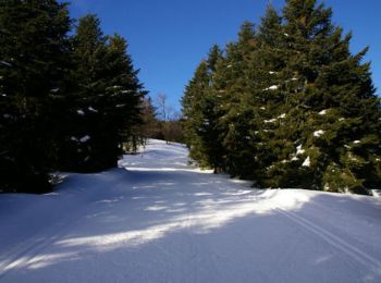
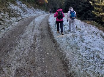
Raquettes à neige


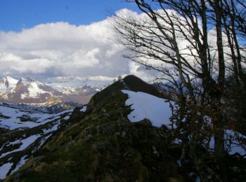
• Une randonnée raquette en boucle pour monter au Soum de Berducou depuis le Col de Couraduque.
A pied
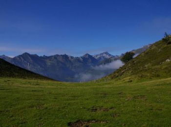
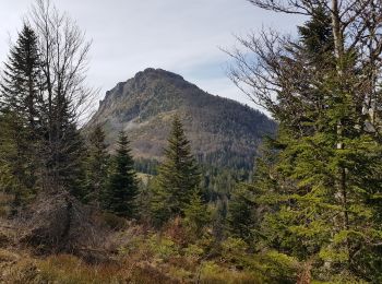
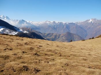
• Bien connu de LPC le terrain de jeux du val d'Azun est un réservoir presque inépuisable pour la randonnée . Le pic de...

Sports d'hiver
• nordique
Sports d'hiver
• fond
Marche
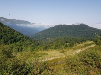
• Très belle randonnée verte et pastorale. Une partie hors sentier dans la montée beaucoup plus agréable que la piste.
Marche
Marche
Marche
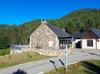
• Départ couraduque

Marche
• Le trajet est légèrement plus long, car l'enregistrement a été commencé après 2 km de marche environ ; pour cette rai...
Autre activité
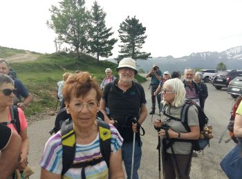
• Dernière demi étape pour moi après 260 km sur ce GR10. Je rentre à Tours.
Marche
• aller par la crête du soum de pêne retour par chemin
Marche
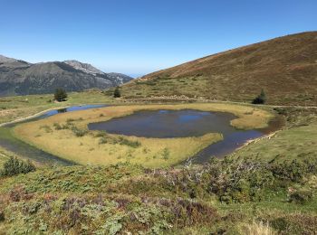
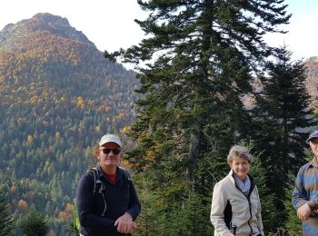
• Une jolie balade depuis le col de Coraduque jusqu'au lac de Soum en passant par le pic de Berbeillet, belvédère sur A...
Marche
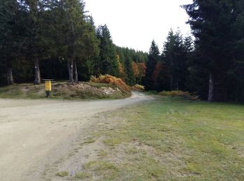
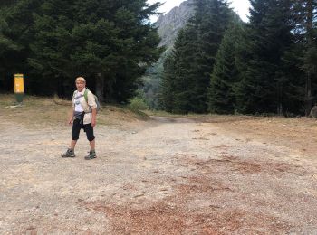
• Garer la voiture au col de la Coraduque et remonter le chemin derrière le café. A la croisée des chemins au col de la...
Marche
• Trek . pas par temps humide.
Parapente
Marche
Marche
• Sympa l mais des pistes à la fin
Marche
• promenade en forêt
Raquettes à neige
• Une randonnée raquette pour monter au Pic de Cantau en passant par le le Cap de Castère, le Pic de Berbeillet et le S...
Marche
• Le Pic de Bazès 1804m depuis le col de Couraduque D'accès rapide et facile, le pic Bazès est un exceptionnel belvédèr...
20 randonnées affichées sur 73
Application GPS de randonnée GRATUITE
 SityTrail
IGN / Instituts géographiques
SityTrail World
Le monde est à vous