


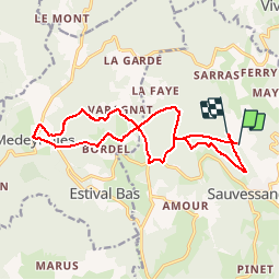

9,4 km | 13,3 km-effort


Utilisateur


Application GPS de randonnée GRATUITE
 SityTrail
IGN / Instituts géographiques
SityTrail World
Le monde est à vous
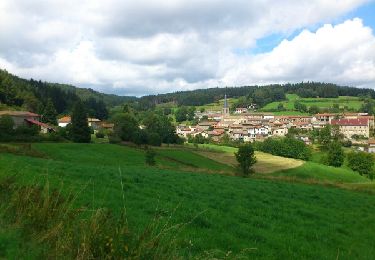
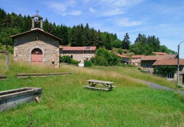
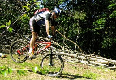
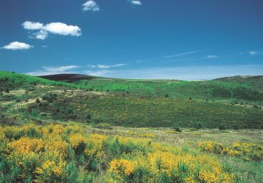
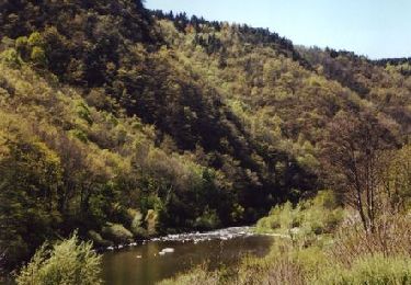
Randonnée V.T.T. de 16,9 km à découvrir à Auvergne-Rhône-Alpes, Puy-de-Dôme, Sauvessanges. Cette randonnée est proposée par marc6262.
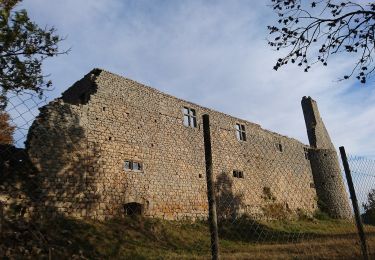
Super coin (WWW.YOURTES.COM)
Acceuil trés sympa des proprios Mr et Mme Courcelle
Philippe est un VTtiste confirmé et vous guidera.
A pied
A pied
Marche
V.T.T.
Marche
V.T.T.
V.T.T.
V.T.T.
V.T.T.