


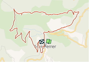

12,1 km | 19,5 km-effort


Gebruiker


Gratisgps-wandelapplicatie
 SityTrail
IGN / Geografische instituten
SityTrail World
De wereld gaat voor u open
Tocht Stappen van 8,2 km beschikbaar op Occitanië, Pyrénées-Orientales, Montferrer. Deze tocht wordt voorgesteld door MarcOBRECHT.
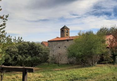
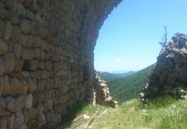
Depuis le parking de l'église, par la route puis sentier, monter au château.
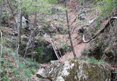
Au château continuer jusqu'à la piste de retour par les pâturages et la forêt

Stappen
Stappen
Stappen
Stappen
Stappen
Stappen
Stappen
Stappen
Stappen