


16,7 km | 22 km-effort
Weismes : Entdecken Sie die besten Touren : 47 zu fuß, 619 wandern, 17 nordic walking, 13 laufen und 12 pfad. Alle diese Touren, Trails, Routen und Outdoor-Aktivitäten sind in unseren SityTrail-Apps für Smartphones und Tablets verfügbar.

Wandern


Wandern

Wandern
Wandern

Wandern
Wandern
Wandern
Wandern
Wandern
Wandern
Wandern
Wandern
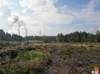
• Hier ist eine abwechslungsreiche Wanderung mit einer Länge von 10km. Es verbindet zwei Touristenattraktionen, Fagne W...
Wandern
• Hier ist eine abwechslungsreiche Wanderung mit einer Länge von 10km. Es verbindet zwei Touristenattraktionen, Fagne W...
Wandern
• Hier ist eine abwechslungsreiche Wanderung mit einer Länge von 10km. Es verbindet zwei Touristenattraktionen, Fagne W...

Wandern

Wandern
Wandern
Wandern
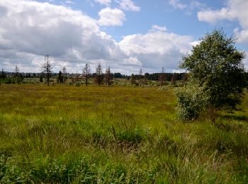
• Diese schöne Wanderung von 10 km länge (2:30) durchquert das Bosvenn auf caillebotis, folgt der Rour, verläuft entlan...
Wandern
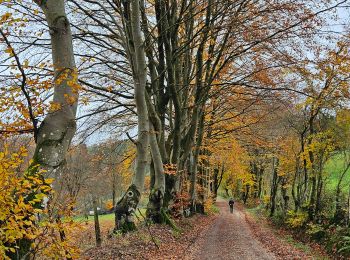
• Diese schöne Wanderung von 10 km länge (2:30) durchquert das Bosvenn auf caillebotis, folgt der Rour, verläuft entlan...
Wandern
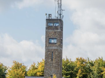
• Diese schöne Wanderung von 10 km länge (2:30) durchquert das Bosvenn auf caillebotis, folgt der Rour, verläuft entlan...
20 Angezeigte Touren bei 684
Kostenlosegpshiking-Anwendung
 SityTrail
IGN / Geografische Institute
SityTrail World
Die Welt öffnet sich für Sie