


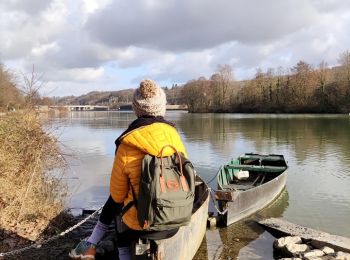
5,9 km | 6,3 km-effort
Oupeye : Entdecken Sie die besten Touren : 13 zu fuß, 148 wandern, 3 nordic walking, 1 laufen und 3 pfad. Alle diese Touren, Trails, Routen und Outdoor-Aktivitäten sind in unseren SityTrail-Apps für Smartphones und Tablets verfügbar.
Wandern


Wandern
Wandern

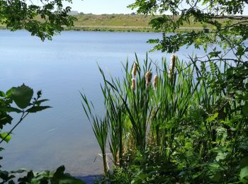
Wandern
Wandern
Wandern
Zu Fuß
• Trail created by Commune d'Oupeye. Website: https://www.oupeye.be/ma-commune/services-communaux/travaux-espaces-ve...
Zu Fuß
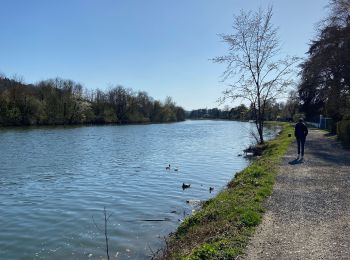
• Le massif calcaire de la Montagne Saint-Pierre se situe à la frontière des Pays-Bas, de la Flandre et de la Wallonie....

Wandern
• Belle promenade facile et variée.
Wandern
Zu Fuß
• Le massif calcaire de la Montagne Saint-Pierre se situe à la frontière des Pays-Bas, de la Flandre et de la Wallonie....
Wandern
Wandern

Pfad
Wandern
Wandern
Wandern
Wandern
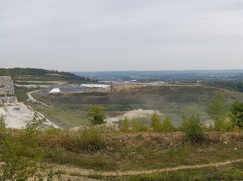
• 90 % de remembrement bétonée
Wandern
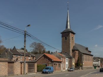
• Courte visite de Hermalle

Wandern
20 Angezeigte Touren bei 167
Kostenlosegpshiking-Anwendung
 SityTrail
IGN / Geografische Institute
SityTrail World
Die Welt öffnet sich für Sie