


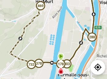
5,9 km | 6,3 km-effort
Oupeye : découvrez les meilleures randonnées : 14 a pied, 170 marche, 3 marche nordique, 1 course à pied et 3 trail. Tous ces circuits, parcours, itinéraires et activités en plein air sont disponibles dans nos applications SityTrail pour smartphones et tablettes.
Marche


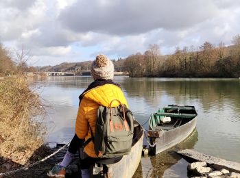
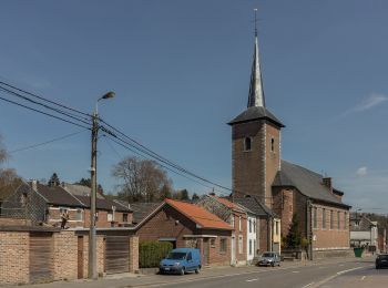
• 🅿️ Départ et Parking: Place Gérard Froidmont 4681 Oupeye ▶️ Suivre la balise "rectangle vert" Vous commencerez la...
Marche
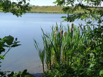
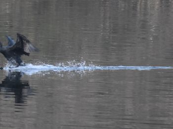
• Jeudi 15 février 2024 : Balade mensuelle ornithologique de l'UCTL Plateau de Herve. C'est sous la houlette de notre g...
Marche
• Lundi 31 juillet 2023 : Balade hebdomadaire des "BIOS". 9 courageu·ses·x randonneu·se·r·s (4♀ & 5♂) se sont lancé·e·s...

Marche
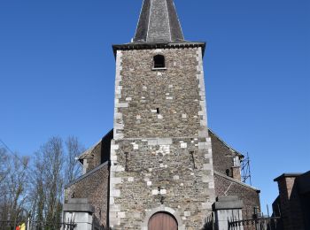
• Mercredi 19 juillet 2023 : Chasse TOTEMUS à Heure-le Romain. C'est dans l'entité de OUPEYE, au départ de l'église Sai...
Marche
• Jeudi 19 janvier 2023 : Balade ornithologique UCTL Plateau de Herve C'est sous une température proche du 0° qu'une vi...
Marche
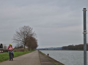
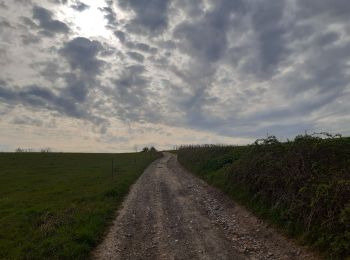
• Jeudi 3 mars 2022 : Balade TOTEMUS à Hermalle-sous-Argenteau Très belle balade, sous un très beau soleil printanier, ...
A pied
• Randonnée créée par Commune d'Oupeye. Site web: https://www.oupeye.be/ma-commune/services-communaux/travaux-espace...
A pied
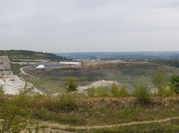
• Le massif calcaire de la Montagne Saint-Pierre se situe à la frontière des Pays-Bas, de la Flandre et de la Wallonie....

Marche
• Belle promenade facile et variée.
Marche
• Un parcours créé sur l'app @NodeMapp Hike
Marche
Marche
Marche
Marche
Marche

Marche
A pied
• Le massif calcaire de la Montagne Saint-Pierre se situe à la frontière des Pays-Bas, de la Flandre et de la Wallonie....
Marche
• 🅿️ Départ et Parking: Rue Fachard à 4681 Oupeye (Hermalle-sous-Argenteau). Un parking se trouve au bout de la rue. ...
Marche
• Jeudi 16 décembre 2021 : Balade ornithologique organisée par l'UCTL (Université Complétive du Temps Libre Herve-Thimi...
Marche
20 randonnées affichées sur 190
Application GPS de randonnée GRATUITE
 SityTrail
IGN / Instituts géographiques
SityTrail World
Le monde est à vous