


13,7 km | 19 km-effort
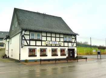
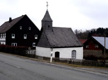
Eslohe : Entdecken Sie die besten Touren : 31 zu fuß. Alle diese Touren, Trails, Routen und Outdoor-Aktivitäten sind in unseren SityTrail-Apps für Smartphones und Tablets verfügbar.
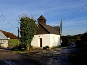
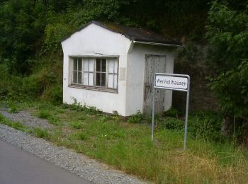
Zu Fuß


• Trail created by Sauerländischer Gebirgsverein.
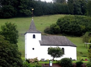
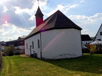
Zu Fuß
• Trail created by Sauerländischer Gebirgsverein.

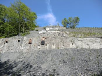
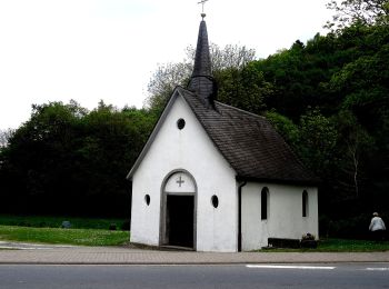
Zu Fuß
• Trail created by Sauerländischer gebirgsverein.
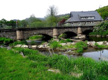
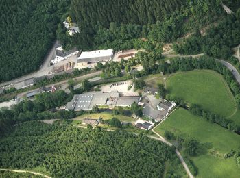
Zu Fuß
• Trail created by Sauerländischer Gebirgsverein.
Zu Fuß
• Trail created by Sauerländischer Gebirgsverein.
Zu Fuß
• Trail created by Sauerländischer Gebirgsverein.
Zu Fuß
• Trail created by Sauerländischer Gebirgsverein.
Zu Fuß
• Trail created by Sauerländischer Gebirgsverein.
Zu Fuß
• Trail created by Sauerländischer Gebirgsverein.
Zu Fuß
• Trail created by Sauerländischer Gebirgsverein.
Zu Fuß
• Trail created by Sauerländischer Gebirgsverein.
Zu Fuß
• Trail created by Sauerländischer Gebirgsverein.
Zu Fuß
• Trail created by Sauerländischer Gebirgsverein (SGV).

Zu Fuß
• Trail created by Sauerländischer Gebirgsverein.

Zu Fuß
• Trail created by Sauerländischer Gebirgsverein.
Zu Fuß
• Trail created by Sauerländischer Gebirgsverein.
Zu Fuß
• Trail created by Sauerländischer Gebirgsverein.
Zu Fuß
• Trail created by Sauerländischer Gebirgsverein.
Zu Fuß
• Trail created by Sauerländischer Gebirgsverein.
Zu Fuß
• Trail created by Sauerländischer Gebirgsverein.
20 Angezeigte Touren bei 31
Kostenlosegpshiking-Anwendung
 SityTrail
IGN / Geografische Institute
SityTrail World
Die Welt öffnet sich für Sie