


3,2 km | 3,9 km-effort
Porqueres : Entdecken Sie die besten Touren : 7 zu fuß und 1 wandern. Alle diese Touren, Trails, Routen und Outdoor-Aktivitäten sind in unseren SityTrail-Apps für Smartphones und Tablets verfügbar.
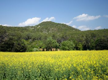
Zu Fuß


• Trail created by Dipsalut.
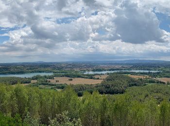
Zu Fuß
• Trail created by Dipsalut.
Zu Fuß
• Trail created by Dipsalut.
Zu Fuß
• Trail created by Dipsalut.
Zu Fuß
• Trail created by Consell Comarcal del Pla de L'Estany. Website: http://turisme.plaestany.cat/wp-content/uploads/20...

Zu Fuß
• Trail created by Consell Comarcal del Pla de l'Estany. Website: http://turisme.plaestany.cat/wp-content/uploads/20...
Zu Fuß
• Trail created by Ajuntament de Banyoles. Website: http://turisme.banyoles.cat/Portals/0/Documents/RutaCanMorgatCAT...

Wandern
8 Angezeigte Touren bei 8
Kostenlosegpshiking-Anwendung
 SityTrail
IGN / Geografische Institute
SityTrail World
Die Welt öffnet sich für Sie