


8,4 km | 15,5 km-effort
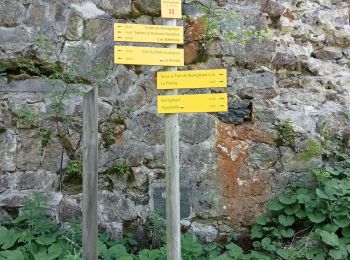
Saint-Alban-d'Hurtières : Entdecken Sie die besten Touren : 1 zu fuß, 29 wandern und 1 laufen. Alle diese Touren, Trails, Routen und Outdoor-Aktivitäten sind in unseren SityTrail-Apps für Smartphones und Tablets verfügbar.
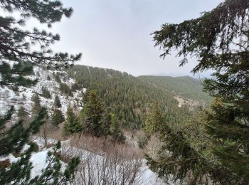
Wandern


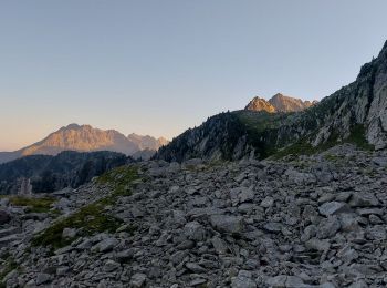
Wandern
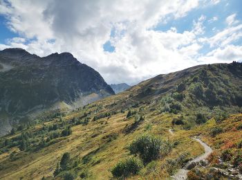
Wandern
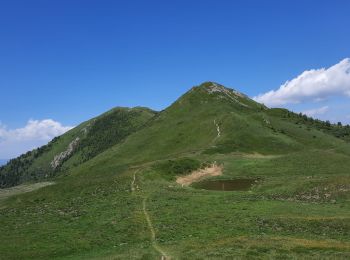
Wandern
Wandern

Wandern
Wandern

Zu Fuß
Wandern
Wandern
Wandern
• facile
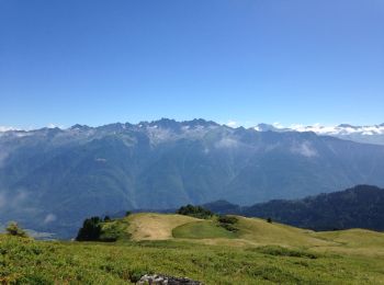
Wandern

Laufen
• départ depuis la Jasse pour retrouver la crête du grand chat et descente sur le lac des grenouilles puis un passage a...
Wandern
Wandern
Wandern
Wandern
Wandern
Wandern
Wandern
20 Angezeigte Touren bei 31
Kostenlosegpshiking-Anwendung
 SityTrail
IGN / Geografische Institute
SityTrail World
Die Welt öffnet sich für Sie