


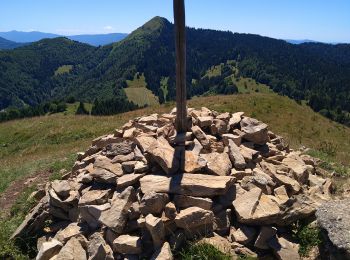
12,2 km | 18,4 km-effort
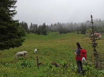
La Pesse : Entdecken Sie die besten Touren : 68 wandern und 1 laufen. Alle diese Touren, Trails, Routen und Outdoor-Aktivitäten sind in unseren SityTrail-Apps für Smartphones und Tablets verfügbar.
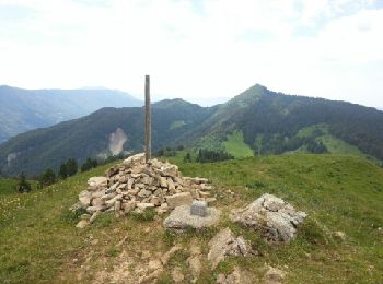
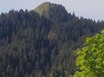
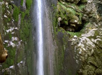
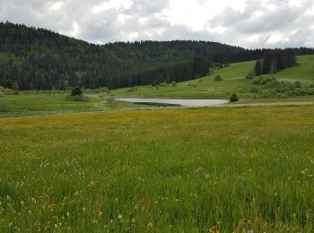
Wandern


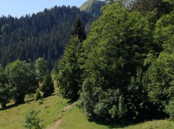
Wandern
• Sans neige
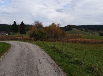
Wandern
Wandern
Wandern
Wandern
Wandern
Wandern

Wandern
Wandern
Wandern
Wandern
Wandern
Wandern
Wandern
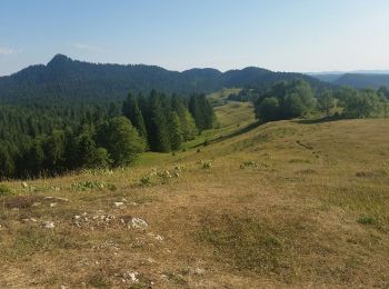
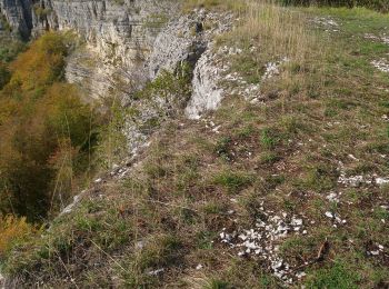
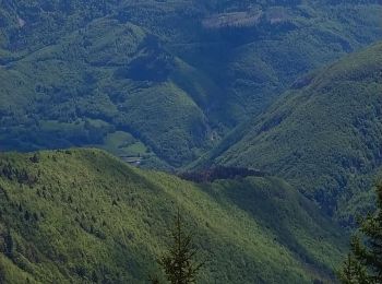
• Le Haut-Jura est caractérisé par un relief « karstique », terme désignant un ensemble de manifestations topographique...
Wandern
Wandern
Wandern
Wandern
Wandern
20 Angezeigte Touren bei 69
Kostenlosegpshiking-Anwendung
 SityTrail
IGN / Geografische Institute
SityTrail World
Die Welt öffnet sich für Sie