


10,4 km | 13,2 km-effort
Germany : Entdecken Sie die 73 besten Wander- und Radtouren. Unser Katalog, der komplett von Wanderern und Tourenradlern kuratiert wurde, ist voll von wunderschönen Landschaften, die nur darauf warten, erkundet zu werden. Downloaden Sie diese Routen in SityTrail, unserer kostenlosen gps-Wander-App, die für Android und iOS verfügbar ist.

Andere Aktivitäten


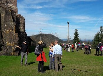
• Très belle balade
Andere Aktivitäten
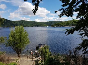
• petite rando puis bateau
Andere Aktivitäten
Andere Aktivitäten
Andere Aktivitäten

Andere Aktivitäten
Andere Aktivitäten

Andere Aktivitäten

Andere Aktivitäten
•
Andere Aktivitäten
•
Andere Aktivitäten
•
Andere Aktivitäten
•
Andere Aktivitäten
•
Andere Aktivitäten
Andere Aktivitäten
Andere Aktivitäten
• Herrliche Rundwanderung durch die Gertelbach-Wasserfälle sowie über Aussichtsfelsen und das Waldgasthaus Kohlbergwie...
Andere Aktivitäten
• 1
Andere Aktivitäten
Andere Aktivitäten
Andere Aktivitäten
20 Angezeigte Touren bei 73
Kostenlosegpshiking-Anwendung
 SityTrail
IGN / Geografische Institute
SityTrail World
Die Welt öffnet sich für Sie