


12,7 km | 16,8 km-effort
Theux : Entdecken Sie die besten Touren : 744 zu Fuß, 85 mit dem Fahrrad oder Mountainbike und 14 auf dem Pferderücken. Alle diese Touren, Trails, Routen und Outdoor-Aktivitäten sind in unseren SityTrail-Apps für Smartphones und Tablets verfügbar.
Wandern


Wandern
Wandern

Wandern
Wandern
Wandern
Wandern

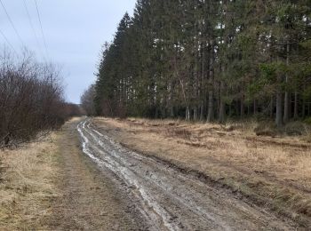
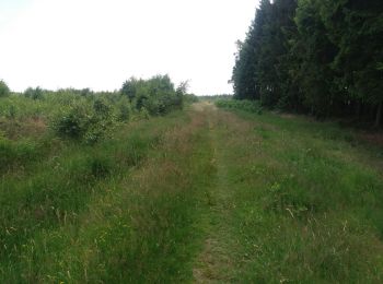
Zu Fuß
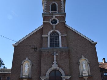
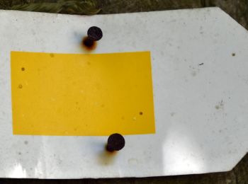
• Start an der Kirche von Polleur. Die Route verläuft über die markierten Wanderwege 41 (blaues Rechteck), 39 (grüne Ra...

Pfad
• Um die neuesten Informationen über Extratrail® und die aktuellen GPX-Tracks zu erhalten, können Sie direkt die Websit...
Wandern

Wandern
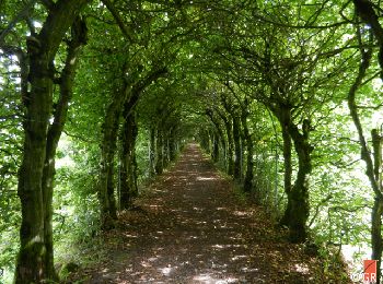
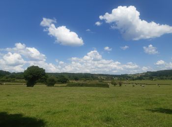
• Von Vert Buisson aus bietet Ihnen der Chemin des Sources weite Aussichtspunkte und ein langer Abstieg führt Sie zum B...

Wandern
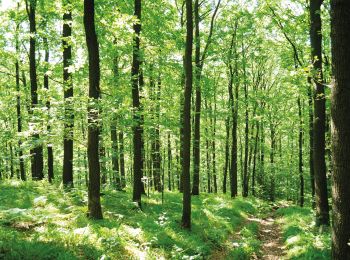
• Der Chemin des Sources führt über Stock und Stein, vorbei an Weilern, die in der Heckenlandschaft verstreut sind und ...

Wandern
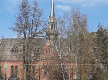
• Diese Etappe führt wieder in das Tal der Hoëgne, das durch das Dorf Polleur mit seinen schön restaurierten Häusern un...
Wandern
Wandern
Wandern
Wandern
Wandern
Wandern
Wandern
20 Angezeigte Touren bei 896
 SityTrail