


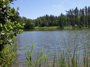
4,4 km | 6,1 km-effort
Landkreis Neustadt an der Waldnaab : Entdecken Sie die besten Touren : 64 zu Fuß und 1 mit dem Fahrrad oder Mountainbike. Alle diese Touren, Trails, Routen und Outdoor-Aktivitäten sind in unseren SityTrail-Apps für Smartphones und Tablets verfügbar.
Zu Fuß


• Trail created by OWV Leuchtenberg. Symbol: Rotes Viereck mit Schwarzer 1
Zu Fuß
• Trail created by Oberpfälzer Waldverein Kohlberg.
Zu Fuß
• Trail created by Oberpfälzer Waldverein Kohlberg.
Zu Fuß
• Trail created by Oberpfälzer Waldverein Kohlberg.
Zu Fuß
• Trail created by Oberpfälzer Waldverein Kohlberg.
Zu Fuß
• Trail created by Oberpfälzer Waldverein Kohlberg.
Zu Fuß
• Trail created by Oberpfälzer Waldverein. Symbol: blue 3 on white background
Zu Fuß
• Symbol: Auf weißem, rechteckigen Grund ein blaues zur Seite weisendes Dreieck

Zu Fuß
• Symbol: Schwarze 8 auf weißem Grund
Zu Fuß
• Trail created by Oberpfälzer Waldverein. Symbol: Rote Raute auf weißem Grund Website: http://owv-waidhaus.de/?page...
Zu Fuß
• Trail created by Oberpfälzer Waldverein. Symbol: Rote s Dreieck auf weißem Grund Website: http://owv-waidhaus.de/?...
Zu Fuß
• Symbol: Schwarze 3 auf weißem Grund
Zu Fuß
• Symbol: Schwarze 2 auf weißem Grund
Zu Fuß
• Symbol: blaue 1 in weißem Kreis
Zu Fuß
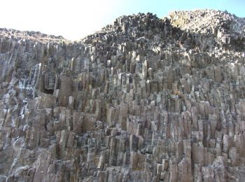
• Trail created by OWV Parkstein.
Zu Fuß
• Trail created by OWV Parkstein.
Zu Fuß
• Trail created by OWV Parkstein.
Zu Fuß
• Trail created by OWV Parkstein.
Zu Fuß
• Trail created by OWV Parkstein.
Zu Fuß
• Trail created by OWV Parkstein.
20 Angezeigte Touren bei 84
Kostenlosegpshiking-Anwendung
 SityTrail
IGN / Geografische Institute
SityTrail World
Die Welt öffnet sich für Sie