


16,7 km | 26 km-effort
Malleval-en-Vercors : Entdecken Sie die besten Touren : 16 zu Fuß, 1 mit dem Fahrrad oder Mountainbike und 1 auf dem Pferderücken. Alle diese Touren, Trails, Routen und Outdoor-Aktivitäten sind in unseren SityTrail-Apps für Smartphones und Tablets verfügbar.

Wandern


Wandern
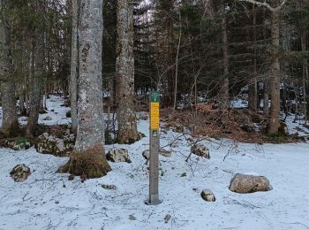
Schneeschuhwandern
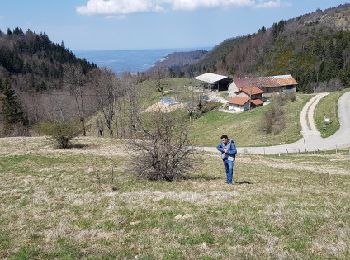
Zu Fuß
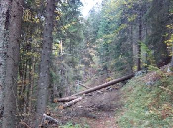
Wandern
Wandern
Wandern
Wandern
Wandern
Wandern
Wandern
Wandern
Wandern
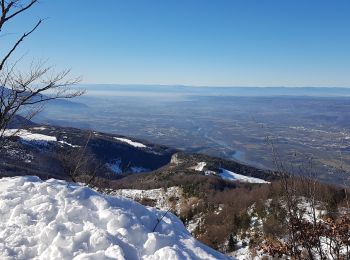
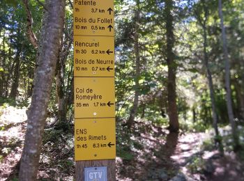
• Randonnée dans un paysage sauvage.Un passage en couloir équipé d'un câble.

Reiten
Wandern

Schneeschuhwandern
Wandern
Wandern
Wandern
19 Angezeigte Touren bei 19
Kostenlosegpshiking-Anwendung
 SityTrail
IGN / Geografische Institute
SityTrail World
Die Welt öffnet sich für Sie