


34 km | 44 km-effort
Saint-Jacques-d'Ambur : Entdecken Sie die besten Touren : 2 zu Fuß und 8 auf dem Pferderücken. Alle diese Touren, Trails, Routen und Outdoor-Aktivitäten sind in unseren SityTrail-Apps für Smartphones und Tablets verfügbar.
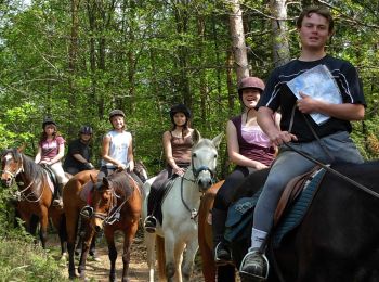
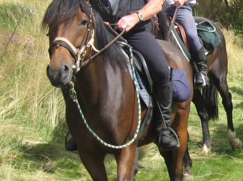
Reiten


Zu Fuß
• Trail created by CD63.
Reiten
Reiten
Reiten
Reiten
Reiten

Wandern
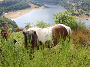
• Plan d'eau

Andere Aktivitäten
• Navigation à la voile au plan d'eau des Fades Besserves

Reiten
Reiten
11 Angezeigte Touren bei 11
Kostenlosegpshiking-Anwendung
 SityTrail
IGN / Geografische Institute
SityTrail World
Die Welt öffnet sich für Sie