


31 km | 37 km-effort
Weismes : Entdecken Sie die besten Touren : 9 fahrrad, 7 rennrad, 50 mountainbike, 2 hybrid-bike, 4 radtourismus und 16 elektrofahrrad. Alle diese Touren, Trails, Routen und Outdoor-Aktivitäten sind in unseren SityTrail-Apps für Smartphones und Tablets verfügbar.
Fahrrad


Rennrad

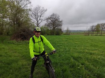
Mountainbike
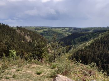
Mountainbike
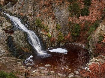
Mountainbike
Mountainbike
Mountainbike
Mountainbike
Mountainbike
Mountainbike
• Détails de la rando sur TraceGPS.com http://www.tracegps.com/fr/parcours/circuit2032.htm
Mountainbike
• Détails de la rando sur TraceGPS.com http://www.tracegps.com/fr/parcours/circuit2033.htm
Mountainbike
• Détails de la rando sur TraceGPS.com http://www.tracegps.com/fr/parcours/circuit2036.htm
Mountainbike
•
Mountainbike
•
Mountainbike
•
Fahrrad
Rennrad
Rennrad
Rennrad
Rennrad
20 Angezeigte Touren bei 85
Kostenlosegpshiking-Anwendung
 SityTrail
IGN / Geografische Institute
SityTrail World
Die Welt öffnet sich für Sie