


29 km | 36 km-effort
Territoire-de-Belfort : Entdecken Sie die besten Touren : 7 fahrrad, 5 rennrad, 135 mountainbike, 2 hybrid-bike, 1 radtourismus und 17 elektrofahrrad. Alle diese Touren, Trails, Routen und Outdoor-Aktivitäten sind in unseren SityTrail-Apps für Smartphones und Tablets verfügbar.

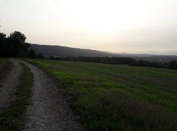
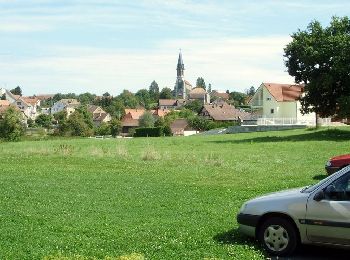
Mountainbike


• Petite randonnée sans grande difficulté, sur terrain gras mais peu glissant et très roulant.
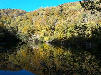
Mountainbike
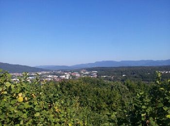
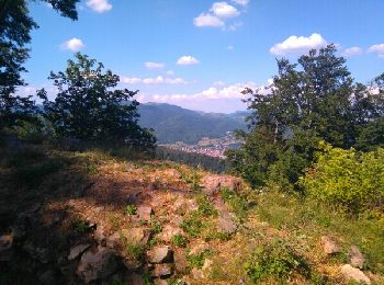
Mountainbike
• superbe rando en suivant les bornes de la principauté de Montbéliard
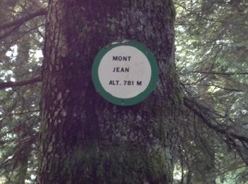
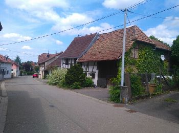
Mountainbike
• Belle monté d+100m
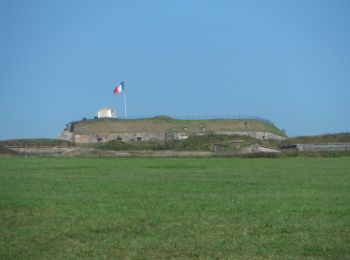
Mountainbike
•
Mountainbike
Fahrrad
Mountainbike
Mountainbike
Mountainbike
• un parcours facile

Mountainbike
• un parcours facile

Mountainbike
Mountainbike
Elektrofahrrad
Mountainbike
Mountainbike
Mountainbike
• Importer dans Cyclemeter sur iPhone
Mountainbike
Mountainbike
Mountainbike
• un parcours facile
20 Angezeigte Touren bei 159
Kostenlosegpshiking-Anwendung
 SityTrail
IGN / Geografische Institute
SityTrail World
Die Welt öffnet sich für Sie