Startseite
World
NEW
Premium
Speichern Sie
Touren
Artikel
Hilfe - Unterstützung
Français
English
Nederlands
Español
Italiano
Deutsch
Verbindung
Startseite
World
Premium
Speichern Sie
Touren
Artikel
Hilfe - Unterstützung
SityTrail
>
POIs
>
GC1230C
SityTrail
>
POIs
>
GC1230C
GC1230C
Beschreibung
sur les pas de Jean Henri Fabr
Foto-Galerie
Erkunden Sie GC1230C mit den folgenden Touren...
tracegps
Col du Souffre et Lacs Mont-Coua
Wandern
Schwierig
(1)
Les Allues, Auvergne-Rhone-Alpen, Savoyen, France
25 km | 41 km-effort
7h 0min
Ja
tracegps
Benutzer
©
OpenStreetMap
contributors
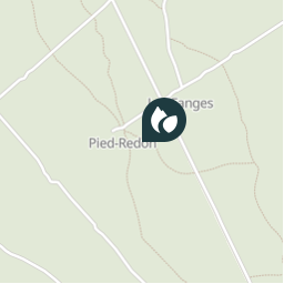
Ort
Land:
France
Region :
Provence-Alpes-Côte d'Azur
Abteilung/Provinz :
Vaucluse
Kommune :
Sérignan-du-Comtat
Standort:
Unknown
Ort
44.206916979 / 4.83921703
Erstellungsdatum :
2018-04-09 12:22:48.49
Letzte Änderung
2018-04-09 12:22:48.49
(0 Nachricht)
Kommentare
Bitte melden Sie sich an, um einen Kommentar oder eine Bewertung zu hinterlassen
POI's in der Nähe
tracegps
GC1230C
SÉRIGNAN-DU-COMTAT
tracegps
GC12JNK
UCHAUX
tracegps
GC12JNK
UCHAUX
tracegps
OR-1486923:uchaux le castel...
SÉRIGNAN-DU-COMTAT
mapomme
cassant rivière
UCHAUX
tracegps
GC122ZB
UCHAUX
tracegps
GC122ZB
UCHAUX
mapomme
départ single ?
ROCHEGUDE
Schließen
Meine Abonnements