Startseite
World
NEW
Premium
Speichern Sie
Touren
Artikel
Hilfe - Unterstützung
Français
English
Nederlands
Español
Italiano
Deutsch
Verbindung
Startseite
World
Premium
Speichern Sie
Touren
Artikel
Hilfe - Unterstützung
SityTrail
>
POIs
>
129
SityTrail
>
POIs
>
129
129
Beschreibung
Foto-Galerie
Erkunden Sie 129 mit den folgenden Touren...
tracegps
Piste cyclable Ugine-Annecy
Laufen
Schwierig
Ugine, Auvergne-Rhone-Alpen, Savoyen, France
142 km | 158 km-effort
4h 30min
Ja
tracegps
Benutzer
©
OpenStreetMap
contributors
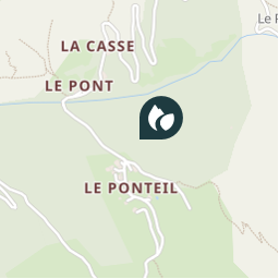
Ort
Land:
France
Region :
Provence-Alpes-Côte d'Azur
Abteilung/Provinz :
Hochalpen
Kommune :
Champcella
Standort:
Unknown
Ort
44.710308 / 6.56977
Erstellungsdatum :
2018-04-09 12:14:48.906
Letzte Änderung
2018-04-09 12:14:48.906
(0 Nachricht)
Kommentare
Bitte melden Sie sich an, um einen Kommentar oder eine Bewertung zu hinterlassen
POI's in der Nähe
tracegps
129
CHAMPCELLA
tracegps
129
CHAMPCELLA
tracegps
129
CHAMPCELLA
margotte
altitude 1557
CHAMPCELLA
margotte
altitude 1557
CHAMPCELLA
margotte
altitude 1557
CHAMPCELLA
rocco58
Patrimoine rural: Moulin à ...
SAINT-CRÉPIN
rocco58
Patrimoine rural: Cellier
SAINT-CRÉPIN
Schließen
Meine Abonnements