Startseite
World
NEW
Premium
Speichern Sie
Touren
Artikel
Hilfe - Unterstützung
Français
English
Nederlands
Español
Italiano
Deutsch
Verbindung
Startseite
World
Premium
Speichern Sie
Touren
Artikel
Hilfe - Unterstützung
SityTrail
>
POIs
>
GC16Y2M
SityTrail
>
POIs
>
GC16Y2M
GC16Y2M
Beschreibung
La Tour du Télégraphe by andre
Foto-Galerie
Erkunden Sie GC16Y2M mit den folgenden Touren...
tracegps
Lac-Bleu depuis Méribel-Altiport
Wandern
Schwierig
(1)
Les Allues, Auvergne-Rhone-Alpen, Savoyen, France
10 km | 18,1 km-effort
4h 30min
Ja
tracegps
Benutzer
©
OpenStreetMap
contributors
Ort
Land:
France
Region :
Auvergne-Rhone-Alpen
Abteilung/Provinz :
Rhône
Kommune :
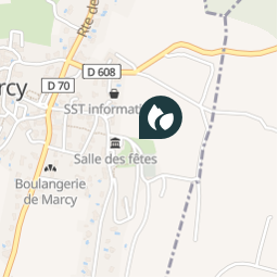
Marcy
Standort:
Unknown
Ort
45.913617 / 4.684417
Erstellungsdatum :
2018-04-09 12:20:48.805
Letzte Änderung
2018-04-09 12:20:48.805
(0 Nachricht)
Kommentare
Bitte melden Sie sich an, um einen Kommentar oder eine Bewertung zu hinterlassen
POI's in der Nähe
tracegps
GC16Y2M
MARCY
tracegps
GC16Y2M
MARCY
tracegps
GC16Y2M
MARCY
tracegps
GC16Y2M
MARCY
tracegps
GC16Y2M
MARCY
tracegps
GC16Y2M
MARCY
tracegps
GC16Y2M
MARCY
tracegps
GC16Y2M
MARCY
Schließen
Meine Abonnements