Startseite
World
NEW
Premium
Speichern Sie
Touren
Artikel
Hilfe - Unterstützung
Français
English
Nederlands
Español
Italiano
Deutsch
Verbindung
Startseite
World
Premium
Speichern Sie
Touren
Artikel
Hilfe - Unterstützung
SityTrail
>
POIs
>
GC1C456
SityTrail
>
POIs
>
GC1C456
GC1C456
Beschreibung
Le lac Laramon by Vilcanota, T
Foto-Galerie
Erkunden Sie GC1C456 mit den folgenden Touren...
tracegps
Lac-Bleu depuis Méribel-Altiport
Wandern
Schwierig
(1)
Les Allues, Auvergne-Rhone-Alpen, Savoyen, France
10 km | 18,1 km-effort
4h 30min
Ja
tracegps
Benutzer
©
OpenStreetMap
contributors
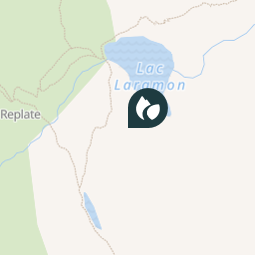
Ort
Land:
France
Region :
Provence-Alpes-Côte d'Azur
Abteilung/Provinz :
Hochalpen
Kommune :
Névache
Standort:
Unknown
Ort
45.04675 / 6.55485
Erstellungsdatum :
2018-04-09 12:14:31.128
Letzte Änderung
2018-04-09 12:14:31.128
(0 Nachricht)
Kommentare
Bitte melden Sie sich an, um einen Kommentar oder eine Bewertung zu hinterlassen
POI's in der Nähe
tracegps
GC1C456
NÉVACHE
tracegps
GC1C456
NÉVACHE
tracegps
GC1C456
NÉVACHE
tracegps
GC1C456
NÉVACHE
tracegps
GC1C456
NÉVACHE
tracegps
GC1C456
NÉVACHE
tracegps
GC1C456
NÉVACHE
tracegps
GC1C456
NÉVACHE
Schließen
Meine Abonnements