Startseite
World
NEW
Premium
Speichern Sie
Touren
Artikel
Hilfe - Unterstützung
Français
English
Nederlands
Español
Italiano
Deutsch
Verbindung
Startseite
World
Premium
Speichern Sie
Touren
Artikel
Hilfe - Unterstützung
SityTrail
>
POIs
>
Ruines
SityTrail
>
POIs
>
Ruines
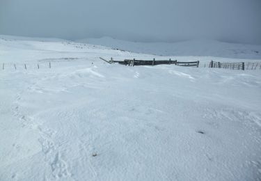
Ruines
Beschreibung
Chemin
Foto-Galerie
Erkunden Sie Ruines mit den folgenden Touren...
tracegps
Le tour de La Jambe - Prat de Bouc
Schneeschuhwandern
Medium
Paulhac, Auvergne-Rhone-Alpen, Cantal, France
6,2 km | 10 km-effort
2h 45min
Ja
tracegps
Benutzer
©
OpenStreetMap
contributors
Ort
Land:
France
Region :
Auvergne-Rhone-Alpen
Abteilung/Provinz :
Cantal
Kommune :
Paulhac
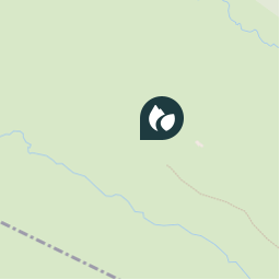
Standort:
Unknown
Ort
45.0413275 / 2.8034449
Erstellungsdatum :
2018-04-09 11:08:43.34
Letzte Änderung
2018-04-09 11:08:43.34
(0 Nachricht)
Kommentare
Bitte melden Sie sich an, um einen Kommentar oder eine Bewertung zu hinterlassen
POI's in der Nähe
tracegps
Ruines
PAULHAC
tracegps
burons hauts
PAULHAC
tracegps
2
PAULHAC
tracegps
1
ALBEPIERRE-BREDONS
tracegps
départ
PAULHAC
tracegps
départ
PAULHAC
tracegps
départ
ALBEPIERRE-BREDONS
tracegps
004
BREZONS
Schließen
Meine Abonnements