POI Eaux-Bonnes - Point 2 - Photo

Point 2

Beschreibung

quitter la piste damée et prendre à droite les marquages du Gr de pays (rouge et jaune)

Foto-Galerie

Erkunden Sie Point 2 mit den folgenden Touren...
Tour Schneeschuhwandern Eaux-Bonnes - cabane de Bouy - Photo
Schneeschuhwandern
PVERTICAL

Schneeschuhwandern

Medium
Eaux-Bonnes, Neu-Aquitanien, Pyrenäen-Atlantik, France
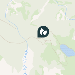
8,7 km | 13,8 km-effort
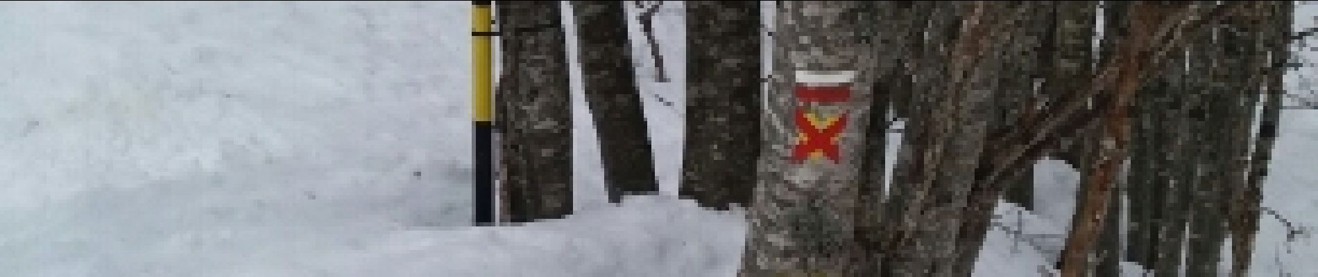
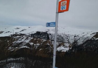
3h 49min
Ja
 PVERTICAL
PVERTICAL

Benutzer

© OpenStreetMap contributors

Ort

Land:
France
Region :
Neu-Aquitanien
Abteilung/Provinz :
Pyrenäen-Atlantik
Kommune :
Eaux-Bonnes
Standort:
Unknown
Erstellungsdatum :
2018-04-17 21:12:26.265
Letzte Änderung
2018-04-17 21:12:26.265

(0 Nachricht)


POI's in der Nähe

POI Eaux-Bonnes - Point 1 - Photo
PVERTICAL
EAUX-BONNES 
POI Eaux-Bonnes - Unnamed POI - Photo
B1jamin
EAUX-BONNES 
POI Eaux-Bonnes - Point 3 - Photo
PVERTICAL
EAUX-BONNES 
POI Eaux-Bonnes - Point 4 - Photo
PVERTICAL
EAUX-BONNES 
POI Eaux-Bonnes - Depart - Photo
tracegps
EAUX-BONNES 
POI Eaux-Bonnes - Gourette - Photo
tracegps
EAUX-BONNES 
POI Eaux-Bonnes - Bois-Saxe - Photo
tracegps
EAUX-BONNES 
POI Eaux-Bonnes - Cabane - Photo
tracegps
EAUX-BONNES 


Schließen
Meine Abonnements