


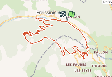

14,7 km | 26 km-effort

Benutzer


Kostenlosegpshiking-Anwendung
 SityTrail
IGN / Geografische Institute
SityTrail World
Die Welt öffnet sich für Sie
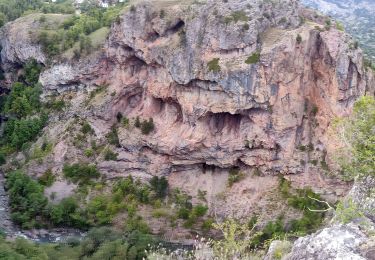
Tour Mountainbike von 13,9 km verfügbar auf Provence-Alpes-Côte d'Azur, Hochalpen, Freissinières. Diese Tour wird von tracegps vorgeschlagen.
Espace VTT FFC Pays des Ecrins Circuit labellisé par la Fédération Française de Cyclisme. Espace VTT FFC Pays des Ecrins – Circuit n°09 - Le Col des Combes Téléchargez le Topo Guide des circuits VTT FFC du Pays des Ecrins.


Wandern
Wandern

Wandern
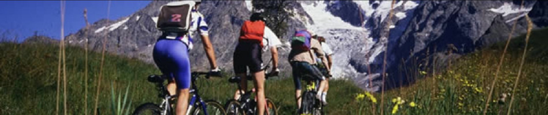
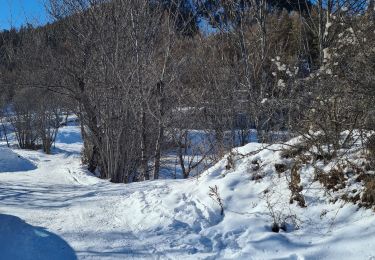
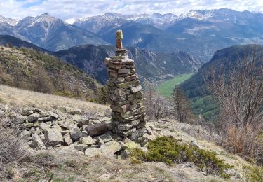
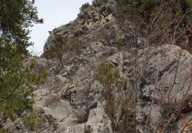
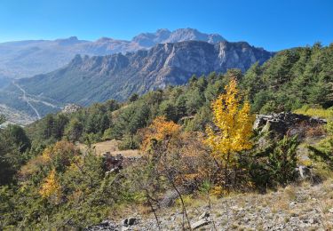
Mountainbike
Skiwanderen
Wandern
Wandern
Wandern
Wandern