


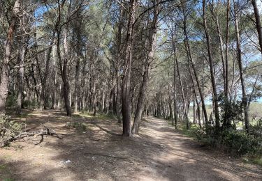
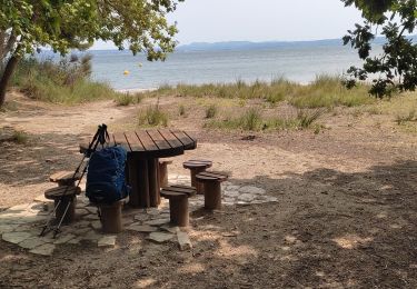
3,9 km | 4,5 km-effort

Benutzer


Kostenlosegpshiking-Anwendung
 SityTrail
IGN / Geografische Institute
SityTrail World
Die Welt öffnet sich für Sie
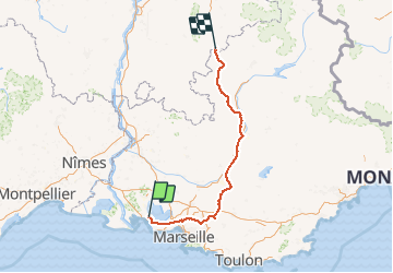
Tour Fahrrad von 248 km verfügbar auf Provence-Alpes-Côte d'Azur, Bouches-du-Rhône, Saint-Mitre-les-Remparts. Diese Tour wird von tracegps vorgeschlagen.
Remontée en Trike électrique depuis St Mitre Jusqu'à Lus la Croix Haute. Pas assez de jus pour aller jusqu'à Grenoble...

Zu Fuß
Zu Fuß
Zu Fuß
Zu Fuß
Zu Fuß
Zu Fuß
Wandern
Wandern
Wandern