


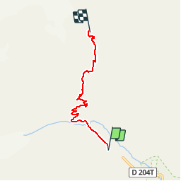


25 km | 58 km-effort

Benutzer


Kostenlosegpshiking-Anwendung
 SityTrail
IGN / Geografische Institute
SityTrail World
Die Welt öffnet sich für Sie
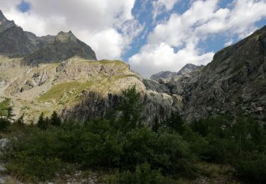
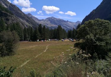
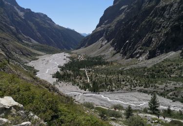
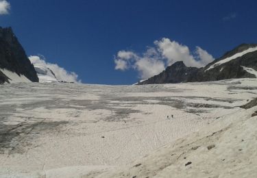
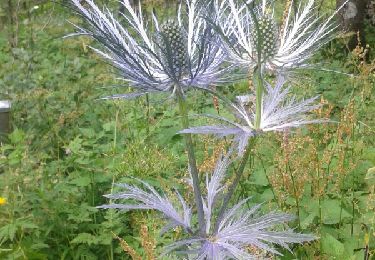
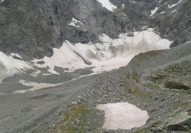
Tour Wandern von 4,3 km verfügbar auf Provence-Alpes-Côte d'Azur, Hochalpen, Vallouise-Pelvoux. Diese Tour wird von tracegps vorgeschlagen.
Arrivée à Vallouise, direction parking voiture du refuge Cézanne. Monter tranquille jusqu'au refuge du Glacier Blanc. Il est conseillé de faire la descente le lendemain (ou d'escalader le Glacier Blanc mais il faut avoir un très bon niveau escalade) Note ; attention, en hiver accès véhicule par route barré au tunnel de Pelvou.


Wandern
Wandern
Wandern
Wandern
Wandern
Wandern
Wandern
Wandern
Wandern