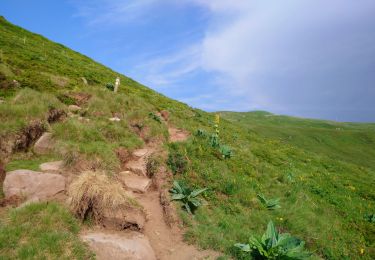
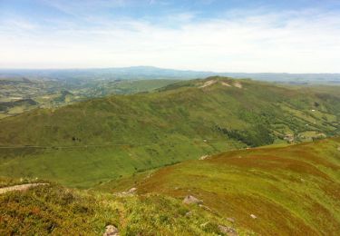
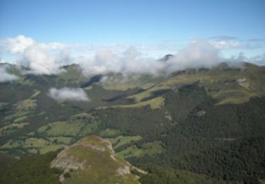
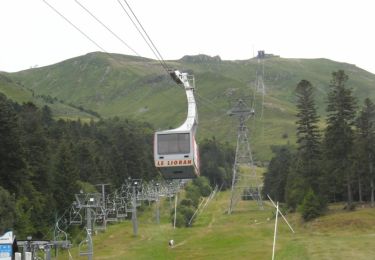
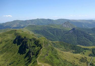
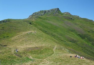
Tour Schneeschuhwandern Laveissière - Les crêtes du Cantal - Le Lioran - Photo

Les crêtes du Cantal - Le Lioran

 tracegps
tracegps

Benutzer

© OpenStreetMap contributors
Länge
Länge
28 km
Maximale Höhe
Maximale Höhe
1769 m
Positive Höhendifferenz
1664 m
Km-Effort
Km-Effort  
51 km
Min. Höhe
Min. Höhe
922 m
Negative Höhendifferenz
1664 m
Boucle
Boucle
Ja
Erstellungsdatum :
2014-12-10 00:00:00.0
Letzte Änderung :
2014-12-10 00:00:00.0

(0 Nachricht)

Schneeschuhwandern
Schneeschuhwandern
9h00
Schwierigkeit : Sehr schwierig

Scannen Sie diesen QR-Code, um die Tour in der SityTrail-Anwendung zu öffnen

Kostenlosegpshiking-Anwendung

Logo SityTrail SityTrail

IGN / Geografische Institute

SityTrail aus dem App Store herunterladen SityTrail von Google Play herunterladen

Logo SityTrail SityTrail World

Die Welt öffnet sich für Sie

SityTrail aus dem App Store herunterladen SityTrail von Google Play herunterladen SityTrail auf Huawei AppGallery herunterladen

Über SityTrail

Tour Schneeschuhwandern von 28 km verfügbar auf Auvergne-Rhone-Alpen, Cantal, Laveissière. Diese Tour wird von tracegps vorgeschlagen.

Beschreibung

Circuit pouvant se faire sur 2 jours avec nuit à l'hôtel, maison d'hôte ou gîte d'étape à Mandailles (il y a aussi un camping à proximité) ou sur la journée pour les plus motivés (prévoir 8 bonnes heures avec le pique nique et quelques pauses). Circuit possible durant l'hiver si faible enneigement, mais prévoir crampons et piolets pour le passage ne nombreux névés sur les faces nord. Renseignez vous sur l'enneigement avant de partir. La première partie entre Le Lioran et Mandailles ne comporte pas de difficultés étant donné son profil plutôt descendant (800 m de dénivelé positif avec l'ascension du Griou). Il est possible de faire un aller/retour au sommet du Puy Griou en 30 minutes. Si vous êtes silencieux et observateur vous aurez peut être la chance de voir des marmottes sur les pentes du Griou (prévoyez les jumelles, ça vaut le coup!). S'en suit une longue descente en pente douce jusqu'au fond de la vallée de la Jordanne. La seconde partie s'avère plus ardue (1200 m de dénivelé positif) avec la montée assez raide jusqu'au Puy Chavaroche puis le Puy Mary. Sur cette partie vous pourrez apercevoir des chamois (pelage clair en été, noir en hiver, petites cornes) et des mouflons (grandes cornes en spirale chez les mâles).

Höhenprofil

Foto-Galerie

POIs

POI Laveissière - Depart Le Lioran - Photo
tracegps
LAVEISSIÈRE 
POI Mandailles-Saint-Julien - Etape Mandailles - Photo
tracegps
MANDAILLES-SAINT-JULIEN 
POI Laveissière - Arrivee Le Lioran - Photo
tracegps
LAVEISSIÈRE 

Ort

Land:
France
Region :
Auvergne-Rhone-Alpen
Abteilung/Provinz :
Cantal
Kommune :
Laveissière
Standort:
Unknown
Gehen Sie:(Dec)
Gehen Sie:(UTM)
479474 ; 4992787 (31T) N.

Touren in der Umgebung

Tour Wandern Albepierre-Bredons - Cantal - Col de Prat de Bouc Le Plomb du Cantal - 8.2km 450m 2h45 - 2019 07 06 - Photo
Wandern
Orcal37

Wandern

Medium
(1)
Albepierre-Bredons, Auvergne-Rhone-Alpen, Cantal, France
8,2 km | 14,2 km-effort
2h 45min
Ja
Tour Wandern Lavigerie - Le Puy de Peyre Arse depuis la Gravière - Photo
Wandern
tracegps

Wandern

Schwierig
(2)
Lavigerie, Auvergne-Rhone-Alpen, Cantal, France
11,2 km | 21 km-effort
4h 0min
Ja
Tour Wandern Laveissière - Le Puy Griou de Super Lioran - Photo
Wandern
tracegps

Wandern

Medium
(2)
Laveissière, Auvergne-Rhone-Alpen, Cantal, France
11,9 km | 19,7 km-effort
5h 0min
Ja
Tour Wandern Laveissière - Le plomb du Cantal - Le Lioran - Photo
Wandern
tracegps

Wandern

Medium
(1)
Laveissière, Auvergne-Rhone-Alpen, Cantal, France
14,4 km | 27 km-effort
6h 0min
Ja
Tour Wandern Laveissière - Les crêtes du Cantal - Le Lioran - Photo
Wandern
tracegps

Wandern

Schwierig
(4)
Laveissière, Auvergne-Rhone-Alpen, Cantal, France
28 km | 51 km-effort
7h 30min
Ja
Tour Wandern Laveissière - le Peyre Arse - Le Lioran - Photo
Wandern
tracegps

Wandern

Schwierig
(1)
Laveissière, Auvergne-Rhone-Alpen, Cantal, France
11,2 km | 19,4 km-effort
4h 0min
Nein
Tour Wandern Laveissière - Lioran 2023-08-18 Col de Rombière Col du Pertus A/R - Photo
Wandern
marionneau

Wandern

Einfach
(1)
Laveissière, Auvergne-Rhone-Alpen, Cantal, France
12,5 km | 18,8 km-effort
4h 14min
Ja
Tour Wandern Laveissière - Lioran 2023-08-11 Col du Pertus - Photo
Wandern
marionneau

Wandern

Medium
(1)
Laveissière, Auvergne-Rhone-Alpen, Cantal, France
17,3 km | 25 km-effort
2h 57min
Ja
Tour Wandern Laveissière - Lioran 2023-08-09 Puy de Seycheuse - Photo
Wandern
marionneau

Wandern

Sehr schwierig
(1)
Laveissière, Auvergne-Rhone-Alpen, Cantal, France
13,9 km | 23 km-effort
5h 20min
Ja


Schließen
Meine Abonnements