Tour Wandern Hondschoote - Circuit des chapelles (Hondschoote) - Photo

Circuit des chapelles (Hondschoote)

 tracegps
tracegps

Benutzer

© OpenStreetMap contributors
Länge
Länge
19 km
Maximale Höhe
Maximale Höhe
18 m
Positive Höhendifferenz
69 m
Km-Effort
Km-Effort  
20 km
Min. Höhe
Min. Höhe
3 m
Negative Höhendifferenz
69 m
Boucle
Boucle
Ja
Erstellungsdatum :
2014-12-10 00:00:00.0
Letzte Änderung :
2014-12-10 00:00:00.0

(0 Nachricht)

Wandern
Wandern
4h45
Schwierigkeit : Schwierig

Scannen Sie diesen QR-Code, um die Tour in der SityTrail-Anwendung zu öffnen

Kostenlosegpshiking-Anwendung

Logo SityTrail SityTrail

IGN / Geografische Institute

SityTrail aus dem App Store herunterladen SityTrail von Google Play herunterladen

Logo SityTrail SityTrail World

Die Welt öffnet sich für Sie

SityTrail aus dem App Store herunterladen SityTrail von Google Play herunterladen SityTrail auf Huawei AppGallery herunterladen

Über SityTrail

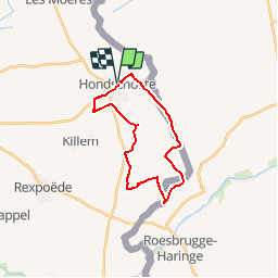
Tour Wandern von 19 km verfügbar auf Nordfrankreich, Nord, Hondschoote. Diese Tour wird von tracegps vorgeschlagen.

Beschreibung

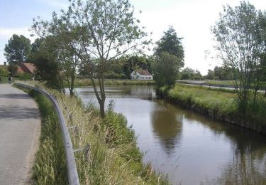
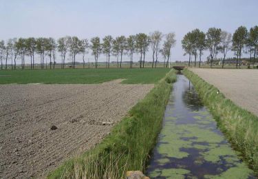
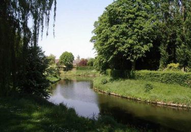
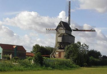
Départ de Hondschoote, place du Général De Gaulle, prés du kiosque à musique. Le circuit permet de voir les nombreuses chapelles que compte la commune d’Hondschoote. Circuit proposé par le Comité Départemental du Tourisme du Nord.
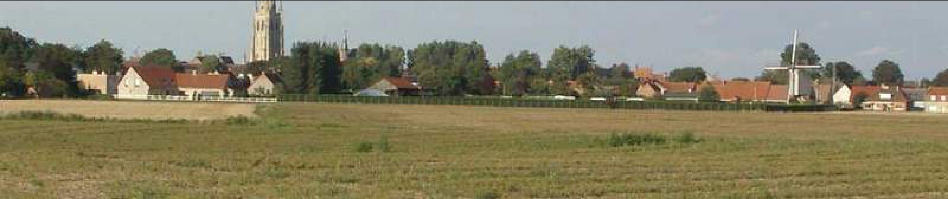
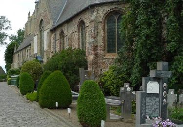
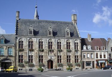
Höhenprofil

Foto-Galerie

Ort

Land:
France
Region :
Nordfrankreich
Abteilung/Provinz :
Nord
Kommune :
Hondschoote
Standort:
Unknown
Gehen Sie:(Dec)
Gehen Sie:(UTM)
470952 ; 5647782 (31U) N.

Touren in der Umgebung

Tour Zu Fuß Veurne - Ringslot wandelroute - Photo
Zu Fuß
PRO

Zu Fuß

Einfach
Veurne, Flandern, Westflandern, Belgium
9,1 km | 9,5 km-effort
2h 8min
Ja
Tour Fahrrad Hondschoote - La route du lin 2014 - Hondschoote - Photo
Fahrrad
tracegps

Fahrrad

Medium
Hondschoote, Nordfrankreich, Nord, France
28 km | 30 km-effort
2h 0min
Ja
Tour Fahrrad Hondschoote - La route du lin 2013 - Hondschoote - Photo
Fahrrad
tracegps

Fahrrad

Einfach
Hondschoote, Nordfrankreich, Nord, France
35 km | 37 km-effort
2h 0min
Ja
Tour Mountainbike Hondschoote - La route du lin 2013 - Hondschoote - Photo
Mountainbike
tracegps

Mountainbike

Einfach
Hondschoote, Nordfrankreich, Nord, France
35 km | 37 km-effort
3h 0min
Ja
Tour Fahrrad Hondschoote - La route du lin 2011 - Hondschoote  - Photo
Fahrrad
tracegps

Fahrrad

Einfach
(1)
Hondschoote, Nordfrankreich, Nord, France
33 km | 34 km-effort
2h 0min
Ja
Tour Mountainbike Hondschoote - La route du lin 2011 - Hondschoote  - Photo
Mountainbike
tracegps

Mountainbike

Einfach
Hondschoote, Nordfrankreich, Nord, France
33 km | 34 km-effort
3h 0min
Ja
Tour Wandern Ghyvelde - Les Moëres - Photo
Wandern
tracegps

Wandern

Schwierig
Ghyvelde, Nordfrankreich, Nord, France
15,1 km | 15,6 km-effort
3h 45min
Ja
Tour Wandern Hondschoote - Circuit des Anguilles - Hondschoote - Photo
Wandern
tracegps

Wandern

Medium
(2)
Hondschoote, Nordfrankreich, Nord, France
9,4 km | 9,8 km-effort
2h 15min
Ja
Tour Fahrrad Hondschoote - Circuit des Teillages - Hondschoote - Photo
Fahrrad
tracegps

Fahrrad

Schwierig
Hondschoote, Nordfrankreich, Nord, France
107 km | 112 km-effort
5h 30min
Ja


Schließen
Meine Abonnements