


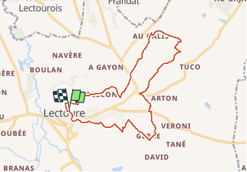

18,8 km | 24 km-effort

Benutzer


Kostenlosegpshiking-Anwendung
 SityTrail
IGN / Geografische Institute
SityTrail World
Die Welt öffnet sich für Sie
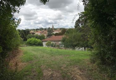
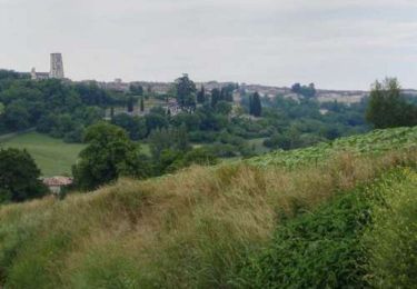
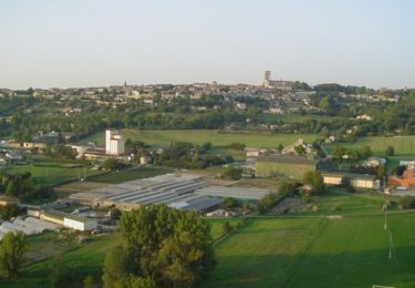
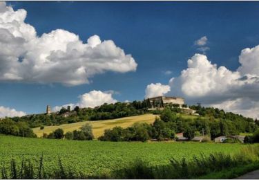
Tour Wandern von 17,9 km verfügbar auf Okzitanien, Gers, Lectoure. Diese Tour wird von tracegps vorgeschlagen.
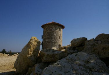
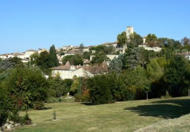
Les Galis – Lectoure Départ de la Tour du Bourreau. Vallée de l’Auroue, les demeures rurales, les bois de Gajan et du Ramier… Circuit numérisé par la Communauté de Communes de la Lomagne Gersoise.


Wandern
Wandern
Wandern

Wandern
Wandern
Wandern
Wandern
Wandern
Wandern