


12 km | 26 km-effort


Benutzer


Kostenlosegpshiking-Anwendung
 SityTrail
IGN / Geografische Institute
SityTrail World
Die Welt öffnet sich für Sie
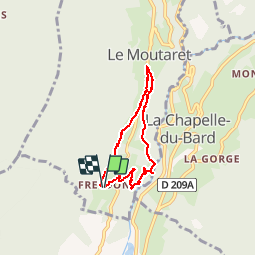
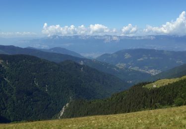
Tour Wandern von 5,7 km verfügbar auf Auvergne-Rhone-Alpen, Isère, Le Moutaret. Diese Tour wird von bzizou vorgeschlagen.
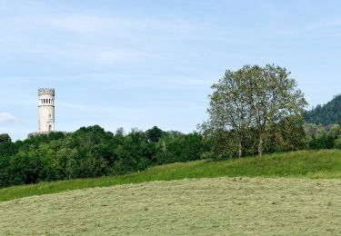
Balade familiale au départ de Freydon.
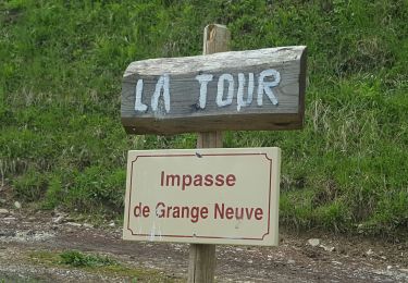
Prendre le chemin qui descend jusqu''à la route, prendre la route à droite sur une trentaine de mètres, puis prendre le chemin qui s''enfonce sur la gauche entre une cloture et une cabane (chemin entretenu par des particuliers, le début peut être un peu difficile avec des passages de ronces).


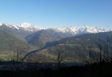
Wandern

Mountainbike
Wandern
Wandern
Zu Fuß
Zu Fuß
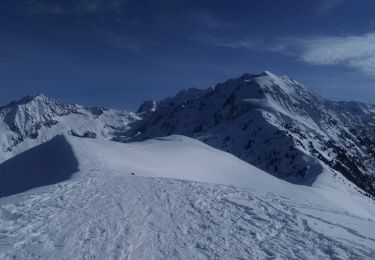
Skiwanderen
Wandern
Mountainbike