Tour Wandern Pont-à-Celles - De Pont à Celles à Gouy-lez-Piétons - Photo

De Pont à Celles à Gouy-lez-Piétons

 Desrumaux
Desrumaux

Benutzer GUIDE

© OpenStreetMap contributors
Länge
Länge
13,6 km
Maximale Höhe
Maximale Höhe
167 m
Positive Höhendifferenz
126 m
Km-Effort
Km-Effort  
15,3 km
Min. Höhe
Min. Höhe
120 m
Negative Höhendifferenz
126 m
Boucle
Boucle
Ja
Erstellungsdatum :
2014-12-10 00:00:00.0
Letzte Änderung :
2014-12-10 00:00:00.0

(0 Nachricht)

Wandern
Wandern
3h20
Schwierigkeit : Einfach

Scannen Sie diesen QR-Code, um die Tour in der SityTrail-Anwendung zu öffnen

Kostenlosegpshiking-Anwendung

Logo SityTrail SityTrail

IGN / Geografische Institute

SityTrail aus dem App Store herunterladen SityTrail von Google Play herunterladen

Logo SityTrail SityTrail World

Die Welt öffnet sich für Sie

SityTrail aus dem App Store herunterladen SityTrail von Google Play herunterladen SityTrail auf Huawei AppGallery herunterladen

Über SityTrail

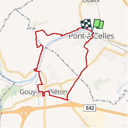
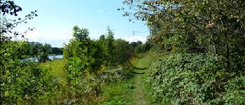
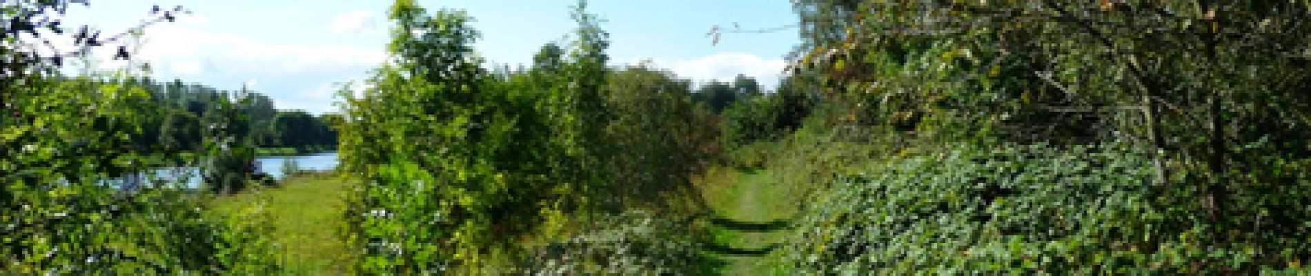
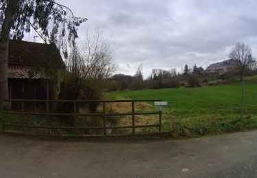
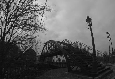
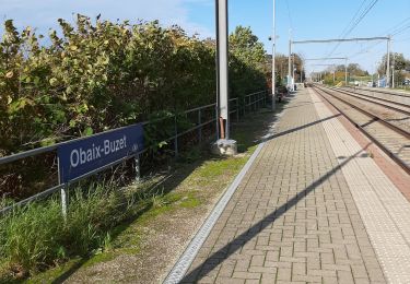
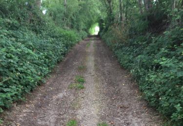
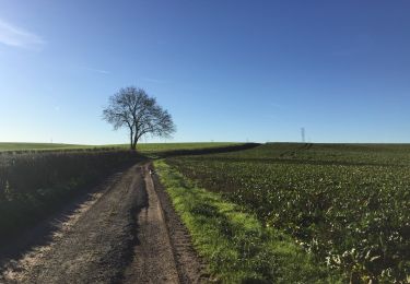
Tour Wandern von 13,6 km verfügbar auf Wallonien, Hennegau, Pont-à-Celles. Diese Tour wird von Desrumaux vorgeschlagen.

Beschreibung

Détails de la rando sur le site TraceGPS.com  http://www.tracegps.com/fr/parcours/circuit14203.htm

Höhenprofil

Foto-Galerie

POIs

POI Courcelles - Gouy-lez-Piétons - Photo
Desrumaux
COURCELLES 
POI Pont-à-Celles - Pont-à-Celles - Photo
Desrumaux
PONT-À-CELLES 
POI Pont-à-Celles - Pont-à-Celles - Photo
Desrumaux
PONT-À-CELLES 
POI Pont-à-Celles - Pont-à-Celles - Photo
Desrumaux
PONT-À-CELLES 

Ort

Land:
Belgium
Region :
Wallonien
Abteilung/Provinz :
Hennegau
Kommune :
Pont-à-Celles
Standort:
Pont-à-Celles
Gehen Sie:(Dec)
Gehen Sie:(UTM)
596554 ; 5596487 (31U) N.

Touren in der Umgebung

Tour Wandern Pont-à-Celles - Balade verte au Pays noir - Viesville et sa réserve naturelle - Photo
Wandern
GUIDE
Desrumaux

Wandern

Einfach
(7)
Pont-à-Celles, Wallonien, Hennegau, Belgium
10,2 km | 12,6 km-effort
2h 30min
Ja
Tour Mountainbike Pont-à-Celles - SityTrail - 2716349 - genappe_20210321_082641 - Photo
Mountainbike
GUIDE
pascalou73

Mountainbike

Sehr leicht
Pont-à-Celles, Wallonien, Hennegau, Belgium
49 km | 56 km-effort
Unbekannt
Ja
Tour Mountainbike Pont-à-Celles - _20201114_091824 - Photo
Mountainbike
GUIDE
pascalou73

Mountainbike

Medium
Pont-à-Celles, Wallonien, Hennegau, Belgium
38 km | 42 km-effort
Unbekannt
Ja
Tour Mountainbike Les Bons Villers - VTT de Réves - Photo
Mountainbike
GUIDE
pascalou73

Mountainbike

Sehr leicht
Les Bons Villers, Wallonien, Hennegau, Belgium
43 km | 47 km-effort
2h 0min
Ja
Tour Wandern Pont-à-Celles - Buzet - Rosseignies - Obaix - Buzet - Photo
Wandern
mvrydagh

Wandern

Einfach
Pont-à-Celles, Wallonien, Hennegau, Belgium
8,7 km | 9,7 km-effort
1h 41min
Ja
Tour Wandern Pont-à-Celles - BE-Pont-à-Celles - Autour du ruisseau de Rosseignies - Photo
Wandern
MicDul

Wandern

Einfach
(2)
Pont-à-Celles, Wallonien, Hennegau, Belgium
7,6 km | 8,5 km-effort
1h 49min
Ja
Tour Wandern Pont-à-Celles - Pont à celles  20KM - Photo
Wandern
laloumrebecca

Wandern

Schwierig
(1)
Pont-à-Celles, Wallonien, Hennegau, Belgium
20 km | 24 km-effort
3h 52min
Ja
Tour Wandern Pont-à-Celles - Pont à celles   - Photo
Wandern
laloumrebecca

Wandern

Schwierig
(1)
Pont-à-Celles, Wallonien, Hennegau, Belgium
20 km | 24 km-effort
3h 52min
Ja
Tour Wandern Pont-à-Celles - En passant de la Meuse à l'Escaut - Photo
Wandern
MicDul

Wandern

Sehr leicht
(1)
Pont-à-Celles, Wallonien, Hennegau, Belgium
6,3 km | 7 km-effort
1h 33min
Ja


Schließen
Meine Abonnements