


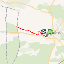

9,7 km | 13 km-effort

Benutzer


Kostenlosegpshiking-Anwendung
 SityTrail
IGN / Geografische Institute
SityTrail World
Die Welt öffnet sich für Sie
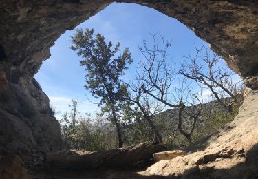
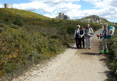
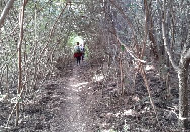
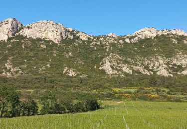
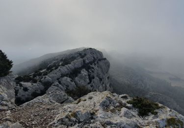
Tour Wandern von 8,7 km verfügbar auf Provence-Alpes-Côte d'Azur, Bouches-du-Rhône, Eyguières. Diese Tour wird von jbhallez vorgeschlagen.


Wandern
Wandern
Wandern
Zu Fuß
Wandern
Wandern

Wandern
Wandern
Wandern