


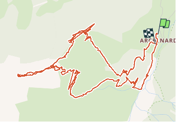

6,3 km | 9,9 km-effort


Benutzer


Kostenlosegpshiking-Anwendung
 SityTrail
IGN / Geografische Institute
SityTrail World
Die Welt öffnet sich für Sie
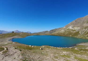
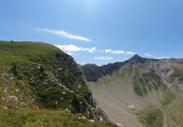
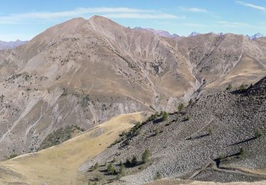
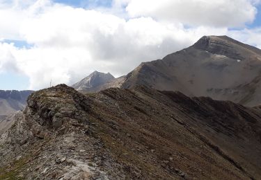
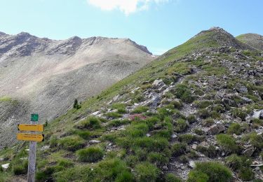
Tour Schneeschuhwandern von 11,1 km verfügbar auf Provence-Alpes-Côte d'Azur, Hochalpen, Orcières. Diese Tour wird von Orage vorgeschlagen.
Wandern
Wandern
Wandern

Wandern
Wandern
Wandern
Wandern
Wandern
Wandern
bel itinéraire de ski de rando