


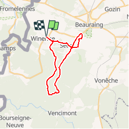


19,4 km | 24 km-effort

Randonnées de la Maison du Tourisme Famenne - Ardenne Ourthe & Lesse PRO


Kostenlosegpshiking-Anwendung
 SityTrail
IGN / Geografische Institute
SityTrail World
Die Welt öffnet sich für Sie
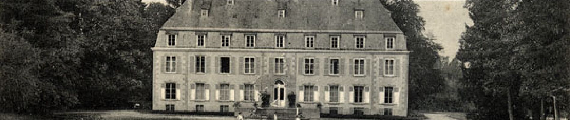
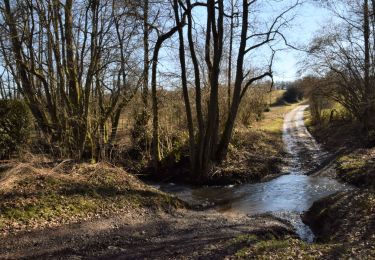
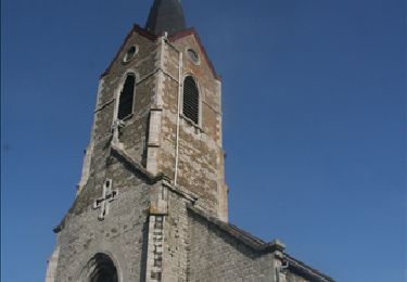
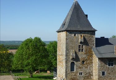
Tour Wandern von 20 km verfügbar auf Wallonien, Namur, Beauraing. Diese Tour wird von Maison du Tourisme Famenne - Ardenne Ourthe & Lesse vorgeschlagen.
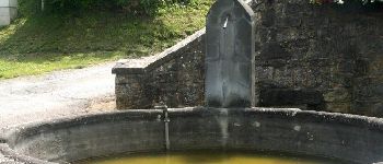
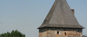
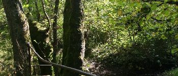
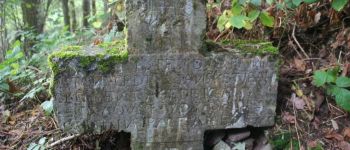
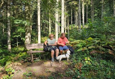
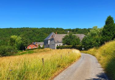
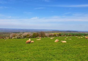
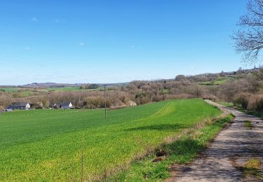
Great trail taking you through lovely bucolic countryside and deep forests with some stunning views.


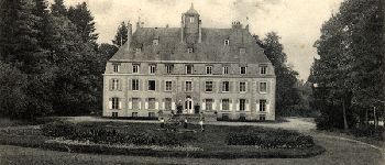
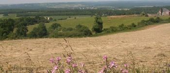
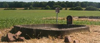
23 Fotos insgesamt. Klicken Sie auf ein Foto, um sie alle in der Galerie zu sehen.
Wandern

Wandern
Wandern

Wandern
Mountainbike
Wandern
Wandern
Wandern
Wandern
très chouette, clair, merci VdL, Karine
We enjoyed it a lot, even if we had to use our brains w and then. Thank you, Val de Lesse, André and Karine
belle rando
Belle balade