


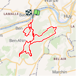

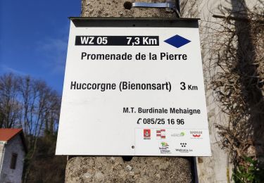
7,9 km | 10,7 km-effort

Benutzer GUIDE

Kostenlosegpshiking-Anwendung
 SityTrail
IGN / Geografische Institute
SityTrail World
Die Welt öffnet sich für Sie
Tour Wandern von 20 km verfügbar auf Wallonien, Lüttich, Huy. Diese Tour wird von rvapeldo vorgeschlagen.
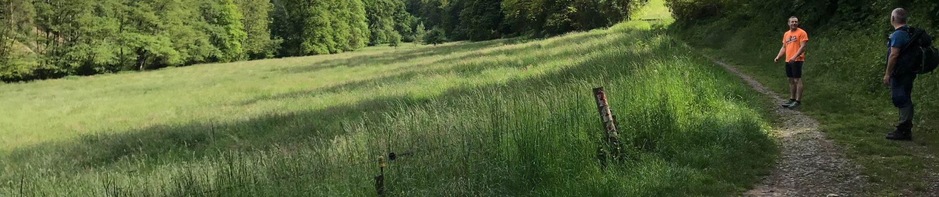
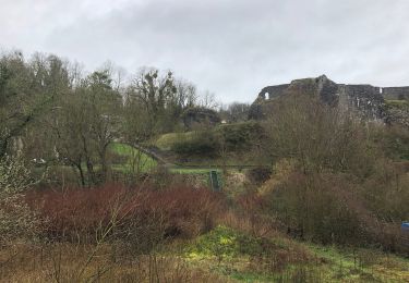
Variation dans les bois au départ de la rue de la poudrière (parking). Le coin regorge de grottes, de sentiers, de pentes brèves mais parfois raides.


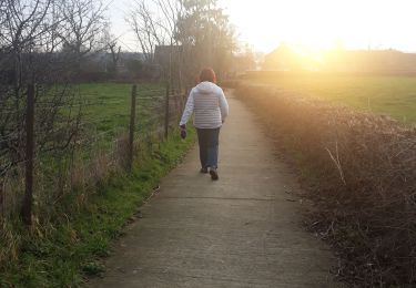
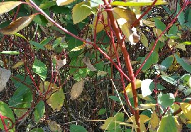
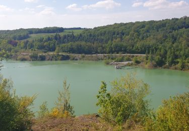
Wandern
Wandern
Wandern

Wandern
Wandern

Wandern
Wandern
Wandern