


14,7 km | 26 km-effort

Benutzer


Kostenlosegpshiking-Anwendung
 SityTrail
IGN / Geografische Institute
SityTrail World
Die Welt öffnet sich für Sie
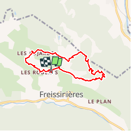
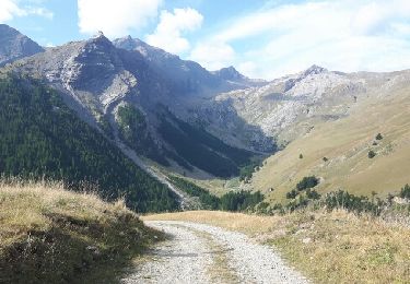
Tour Wandern von 8 km verfügbar auf Provence-Alpes-Côte d'Azur, Hochalpen, Freissinières. Diese Tour wird von JeanPierreNancy vorgeschlagen.
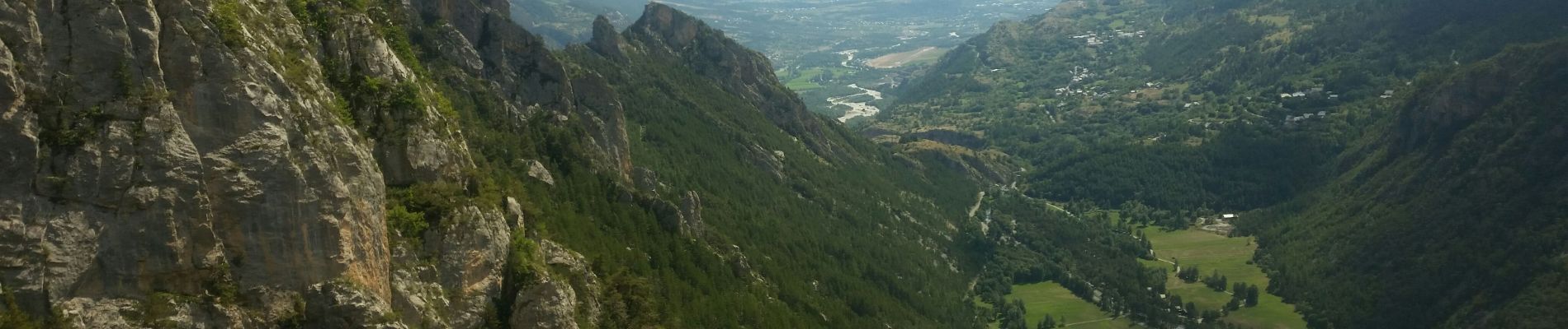
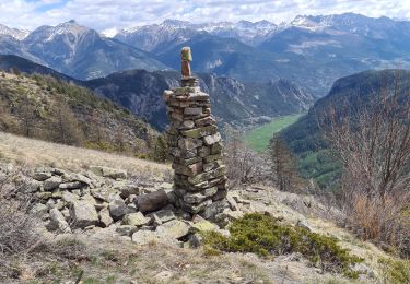
 - Photo 1")
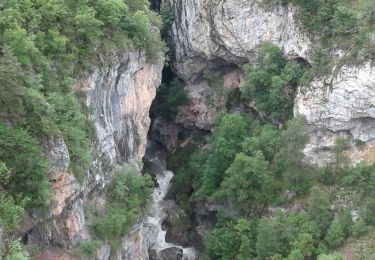
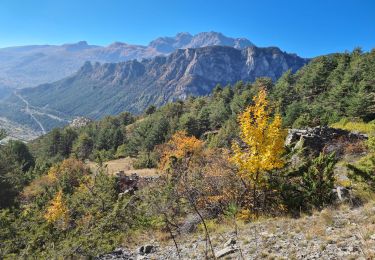
 - Photo 2")
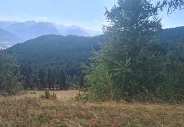
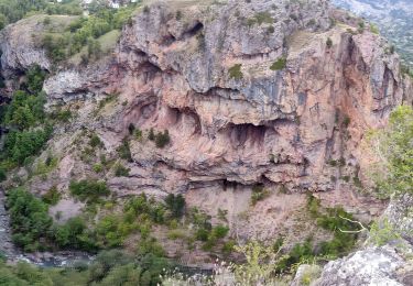
 - Photo 3")
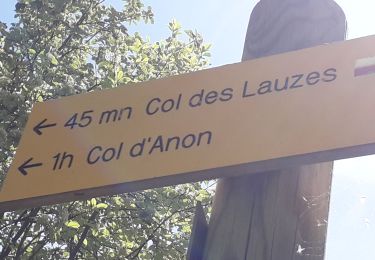
 - Photo 4")
 - Photo 5")
 - Photo 6")

Wandern
Wandern

Wandern
Mountainbike
Wandern
Wandern
Wandern
Wandern
Wandern