


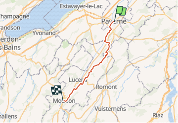

7,7 km | 10,5 km-effort


Benutzer


Kostenlosegpshiking-Anwendung
 SityTrail
IGN / Geografische Institute
SityTrail World
Die Welt öffnet sich für Sie
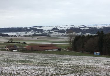
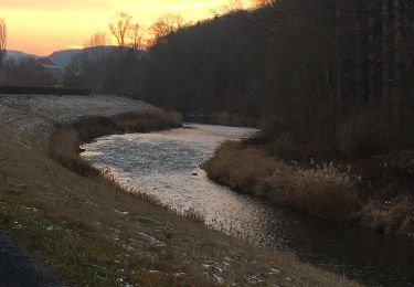
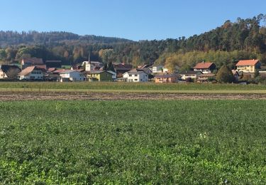
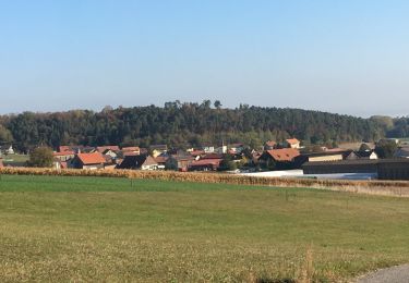
Tour Andere Aktivitäten von 25 km verfügbar auf Waadt, District de la Broye-Vully, Payerne. Diese Tour wird von hallauer vorgeschlagen.
16. Pilgeretappetappe 2006 von Payerne nach Moudon. Übernachten in Moudon. Anderntags 17. Pilger- und Schlussetappe von Moudon nach Lausanne.
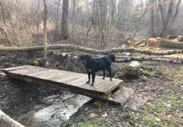
Wandern
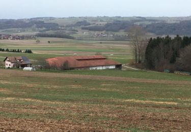
Wandern
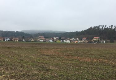
Wandern
Wandern

Fahrrad
Fahrrad
Fahrrad

Fahrrad
Fahrrad