


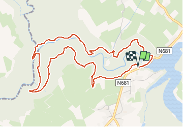

16,7 km | 22 km-effort

Benutzer


Kostenlosegpshiking-Anwendung
 SityTrail
IGN / Geografische Institute
SityTrail World
Die Welt öffnet sich für Sie
Tour Wandern von 5,6 km verfügbar auf Wallonien, Lüttich, Weismes. Diese Tour wird von GerardBouche vorgeschlagen.
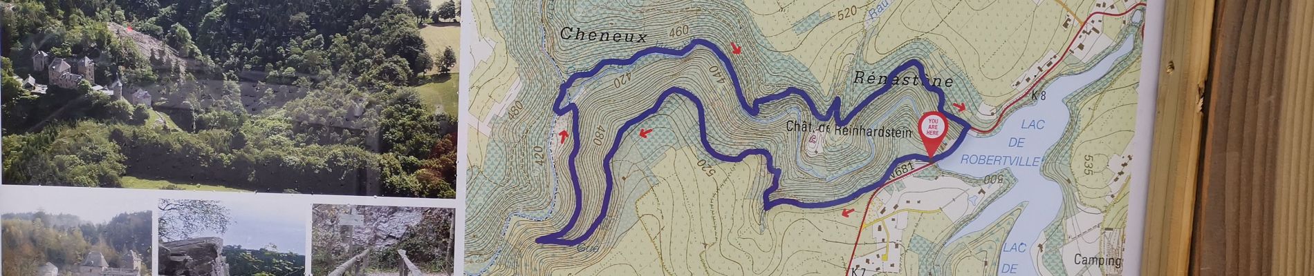
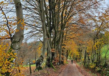
Au départ du barrage de Robertville, un très beau parcours vallonné, quelque peu physique par endroits et très boueux en ce début janvier. Des vues superbes sur les collines environnantes et le Château Fort (XIV ème) de Reinhardstein.


Wandern

Wandern

Wandern


Wandern

Wandern
Wandern
Wandern
Wandern
A faire absolument.. magnifique vue sur le château..👍👍