


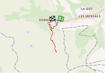

23 km | 47 km-effort


Benutzer


Kostenlosegpshiking-Anwendung
 SityTrail
IGN / Geografische Institute
SityTrail World
Die Welt öffnet sich für Sie
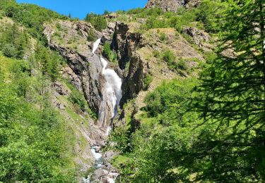
Tour Wandern von 10,6 km verfügbar auf Provence-Alpes-Côte d'Azur, Hochalpen, Freissinières. Diese Tour wird von margotte vorgeschlagen.
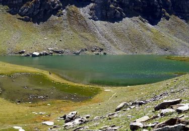
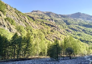
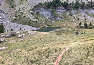
belle escapade avec des lumières matinales parfaites pour la photo. Cascades, lac, flore , soleil et pt'i dessert de dormillouse excellent mais (un peu petit tellement c'est bon)

Wandern
Wandern

Wandern
Wandern
Wandern
Wandern
Wandern
Wandern
Wandern