


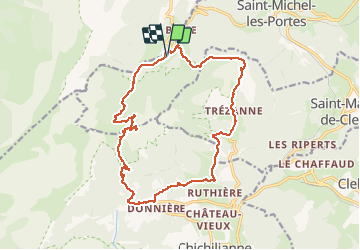

12,1 km | 23 km-effort

Benutzer


Kostenlosegpshiking-Anwendung
 SityTrail
IGN / Geografische Institute
SityTrail World
Die Welt öffnet sich für Sie
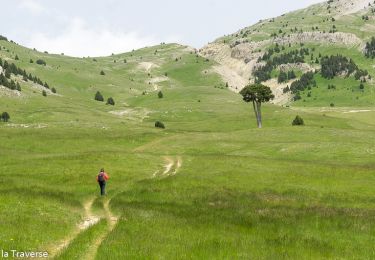
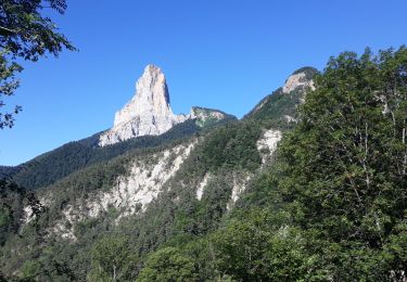
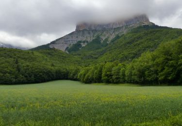
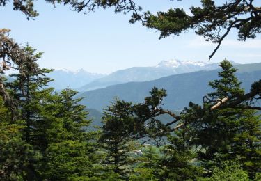
Tour Wandern von 18,5 km verfügbar auf Auvergne-Rhone-Alpen, Isère, Saint-Michel-les-Portes. Diese Tour wird von donda vorgeschlagen.
En venant de Monestier de Clermont par la D1078, prendre la direction de St Michel les Portes sur la D8a, passer le hameau de Cotte se garer après le pont.


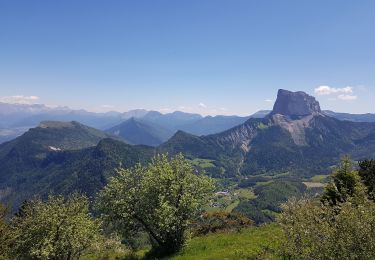
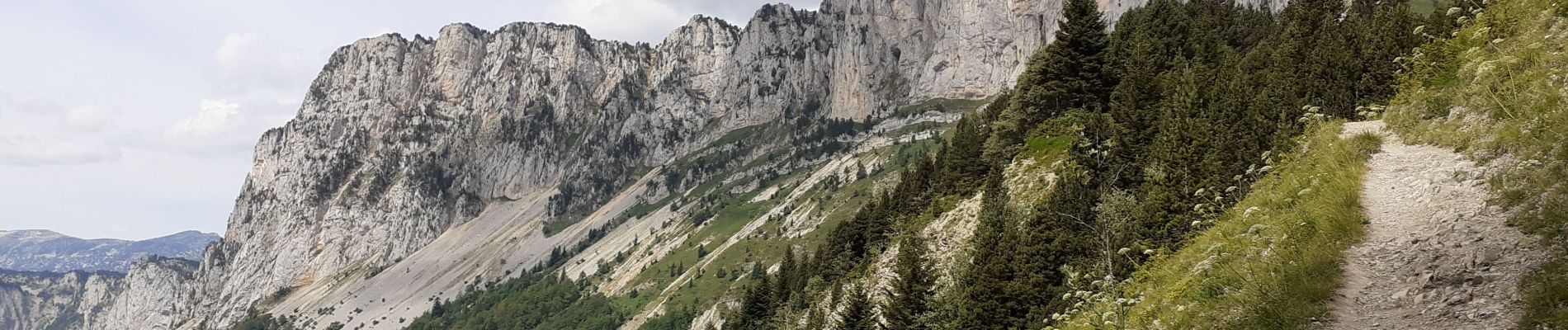
Wandern

Wandern

Wandern
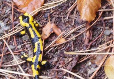
Wandern
Wandern
Wandern
Wandern
Schneeschuhwandern
Zu Fuß