


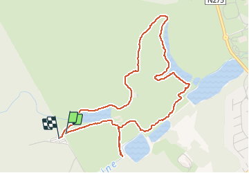


23 km | 28 km-effort

Benutzer


Kostenlosegpshiking-Anwendung
 SityTrail
IGN / Geografische Institute
SityTrail World
Die Welt öffnet sich für Sie
Tour Wandern von 4,9 km verfügbar auf Wallonien, Wallonisch-Brabant, La Hulpe. Diese Tour wird von calofrancis vorgeschlagen.
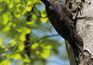
Balade conseillée par Natagora.
Balade inédite par le parcours utilisé et l'aspect réserve naturelle du parc Solvay.
Attention le sentier le long de l'Argentines est en mauvais état (surtout par temps pluvieux)
Il est donc opportun de sortir du sentier au premier arbre en travers et rejoindre ainsi l'allée parallèle.


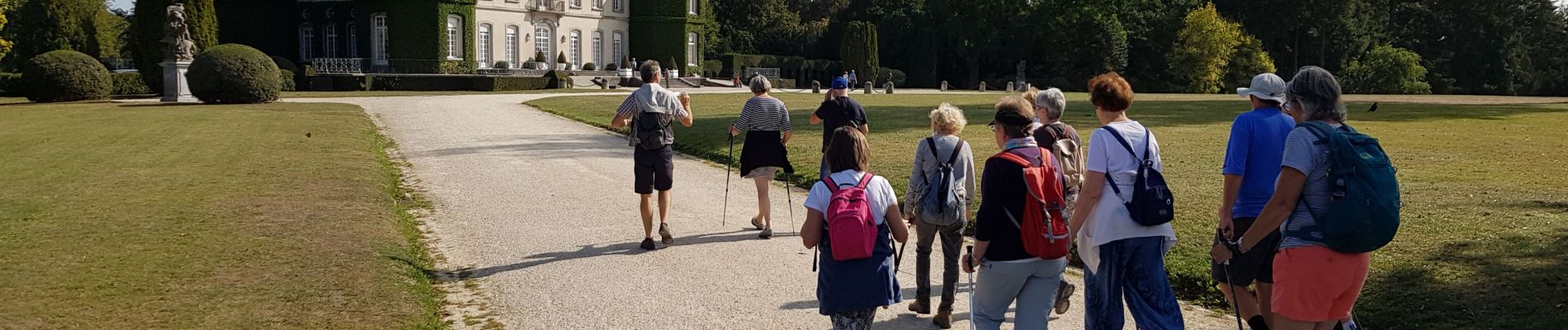
Wandern

Wandern

Wandern

Wandern

Wandern

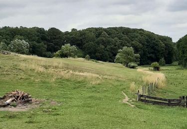
Mountainbike
Wandern

Mountainbike

Wandern