


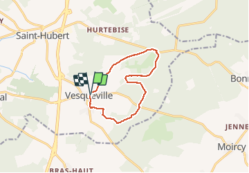

13,9 km | 17,6 km-effort

Benutzer


Kostenlosegpshiking-Anwendung
 SityTrail
IGN / Geografische Institute
SityTrail World
Die Welt öffnet sich für Sie
Tour Wandern von 10 km verfügbar auf Wallonien, Luxemburg, Saint-Hubert. Diese Tour wird von GerardBouche vorgeschlagen.
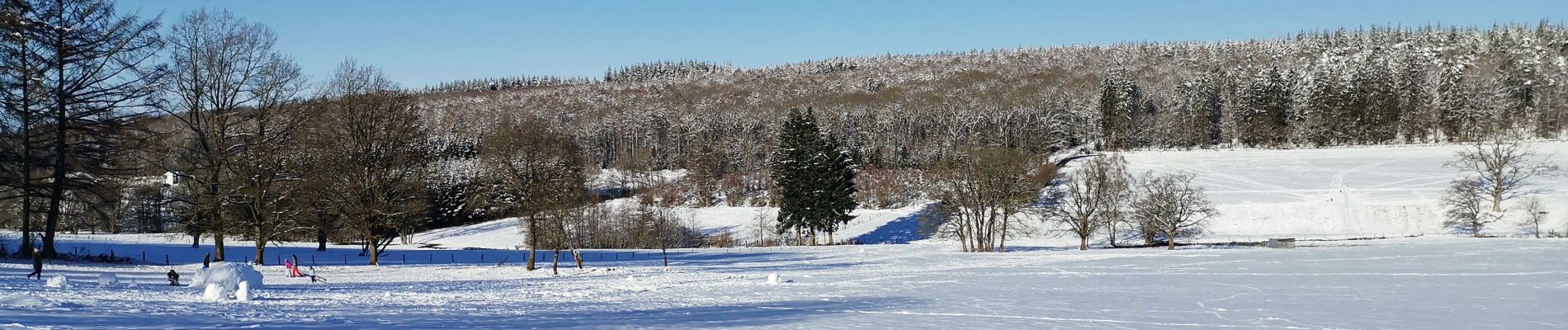
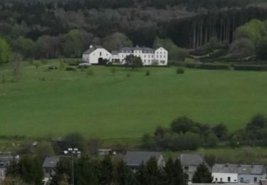
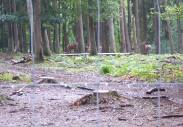
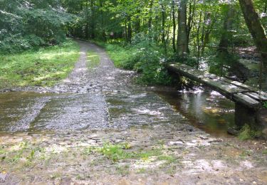
Au départ de la Maison N-Dame ... agréable randonnée forestière par la campagne des " Champs Hallet " et la forêt de Vesqueville avec ses nombreux lieux-dits ... Sârwé, la Loye, la Gotte, le Rongelon et la scierie.


Wandern

Wandern

Wandern

Wandern

Wandern
Wandern
Wandern
Wandern
Wandern
Très belle promenade