


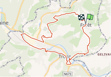

11,6 km | 16,5 km-effort


Benutzer GUIDE


Kostenlosegpshiking-Anwendung
 SityTrail
IGN / Geografische Institute
SityTrail World
Die Welt öffnet sich für Sie
Tour Wandern von 10,1 km verfügbar auf Wallonien, Lüttich, Trooz. Diese Tour wird von mumu.larandonneuse vorgeschlagen.
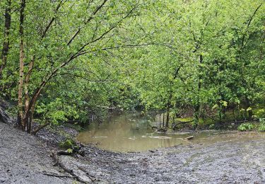
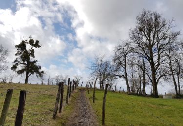
Belle randonnée assez difficile et panoramique dans la vallée de la Vesdre.
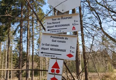
ℹ Gpx pris sur www.wandelgidszuidlimburg.com n° 1403
📌 Départ possible de la gare de Trooz, en plus de Forêt Village.


Wandern

Wandern

Wandern

Wandern
Wandern

Wandern
Wandern
Wandern

Wandern
Difficile mais superbe.