


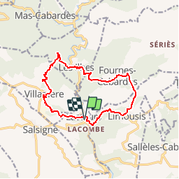

16,1 km | 25 km-effort


Benutzer


Kostenlosegpshiking-Anwendung
 SityTrail
IGN / Geografische Institute
SityTrail World
Die Welt öffnet sich für Sie
Tour Wandern von 14 km verfügbar auf Okzitanien, Aude, Lastours. Diese Tour wird von Pierre11 vorgeschlagen.
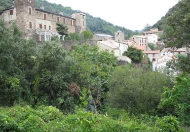
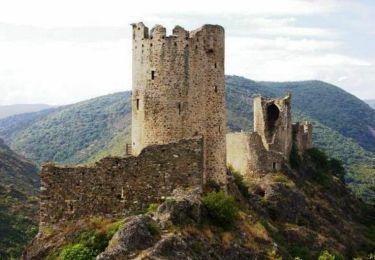
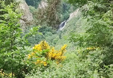
De Lastours vers quelques villages du Cabardès autour de la vallée de l'Orbiel. superbe point de vue des 4 châteaux en fin de parcours.
Wandern

Zu Fuß

Wandern
Wandern

Wandern

Wandern
Wandern