


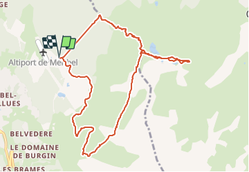

6,8 km | 11,1 km-effort

Benutzer


Kostenlosegpshiking-Anwendung
 SityTrail
IGN / Geografische Institute
SityTrail World
Die Welt öffnet sich für Sie
Tour Wandern von 11,4 km verfügbar auf Auvergne-Rhone-Alpen, Savoyen, Les Allues. Diese Tour wird von Thomas LESAINE vorgeschlagen.
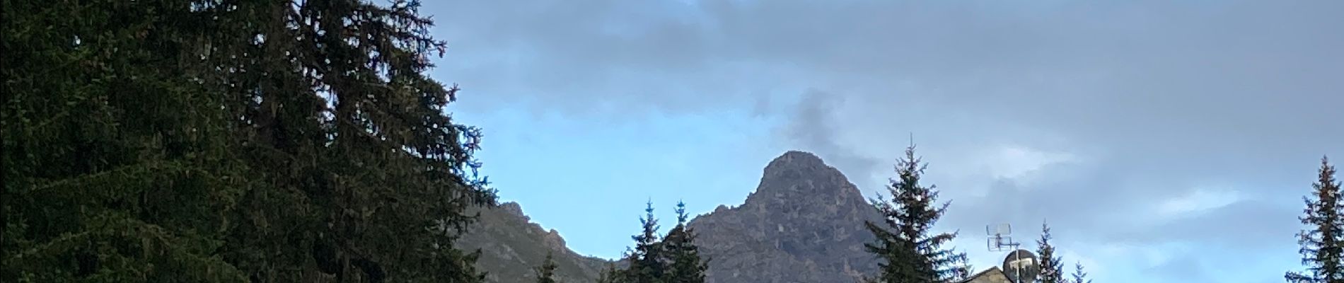
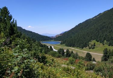
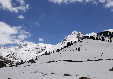
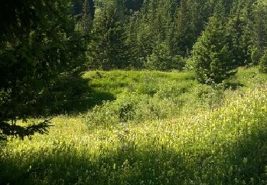
Grande balade qui permet de grimper rapidement au milieu des sapins puis de profiter de la vue sur la vallée de Meribel et de Courchevel. La descente via la Saulire (en suivant les pistes de ski) permet d’admirer la vallée.


Wandern

Andere Aktivitäten

Mountainbike

Wandern
Wandern
Wandern
Zu Fuß
Wandern
Wandern