


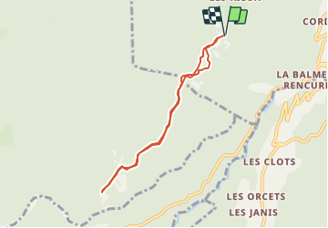

4,9 km | 8,4 km-effort

Benutzer


Kostenlosegpshiking-Anwendung
 SityTrail
IGN / Geografische Institute
SityTrail World
Die Welt öffnet sich für Sie
Tour Wandern von 6,7 km verfügbar auf Auvergne-Rhone-Alpen, Isère, Rencurel. Diese Tour wird von crocau vorgeschlagen.
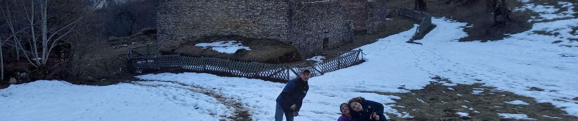
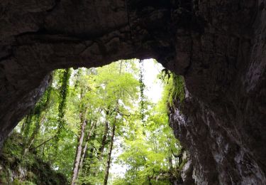
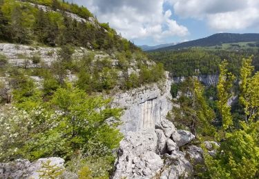
Balade facile et adaptée à la présence de neige en forêt. Le départ se fera plutôt des Ailes à cette période vue l'état de la route qui est dans le secteur de la Vallée des Rimets. Le retour par la route permet de voir un énorme gouffre ou sciallet dans lequel on peut descendre aux autres saisons.
 - Photo 1")
 - Photo 2")

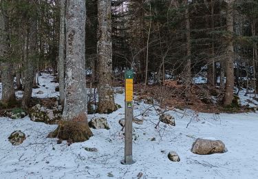
Schneeschuhwandern

Zu Fuß

Wandern
Wandern
Wandern
Wandern
Wandern
Wandern
Wandern