


18,4 km | 26 km-effort

Tous les sentiers balisés d’Europe PRO


Kostenlosegpshiking-Anwendung
 SityTrail
IGN / Geografische Institute
SityTrail World
Die Welt öffnet sich für Sie
Tour Zu Fuß von 14,1 km verfügbar auf Rheinland-Pfalz, Südwestpfalz, Bobenthal. Diese Tour wird von SityTrail - itinéraires balisés pédestres vorgeschlagen.
Trail created by Tourist Information Dahner Felsenland.
Symbol: Stlisiertes schwarzes H unter schwarzem Hügel auf weißem Grund mit schwarzer Unterschrift "Hirzeck-Gipfel-Steig"


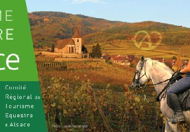
Reiten
Zu Fuß
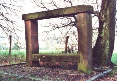
Zu Fuß
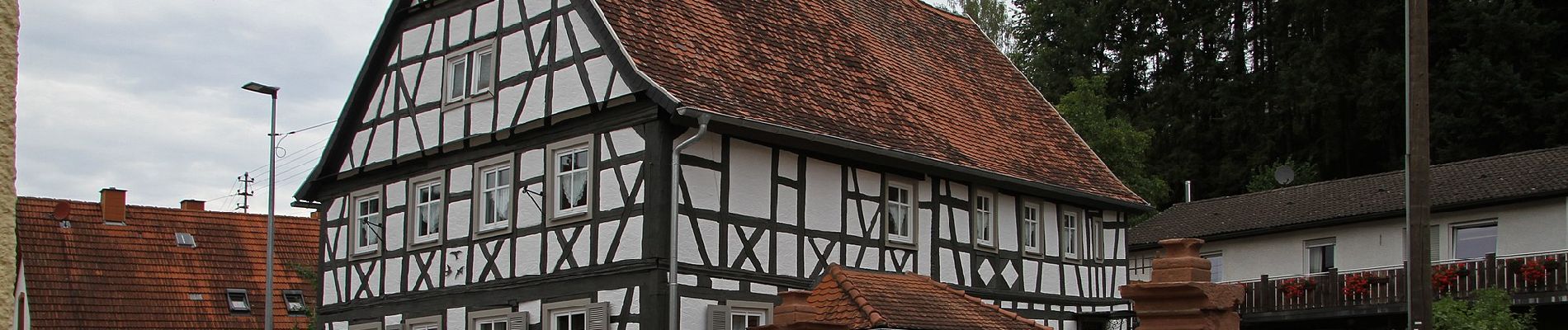
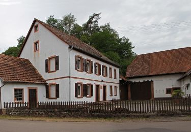
Zu Fuß
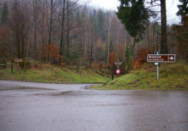
Zu Fuß
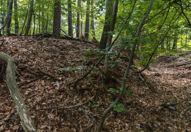
Zu Fuß
Zu Fuß
Zu Fuß
Zu Fuß