


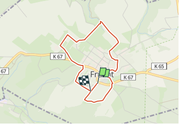

4,2 km | 6 km-effort

Tous les sentiers balisés d’Europe PRO


Kostenlosegpshiking-Anwendung
 SityTrail
IGN / Geografische Institute
SityTrail World
Die Welt öffnet sich für Sie
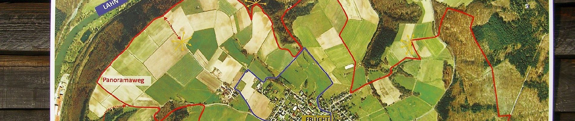
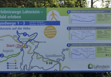
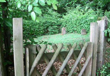
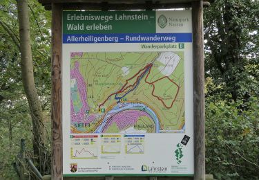
Tour Zu Fuß von 3,4 km verfügbar auf Rheinland-Pfalz, Rhein-Lahn-Kreis, Frücht. Diese Tour wird von SityTrail - itinéraires balisés pédestres vorgeschlagen.
Symbol: blaues "FSP" auf weißem Grund.


Zu Fuß
Zu Fuß
Zu Fuß
Zu Fuß
Zu Fuß
Zu Fuß
Zu Fuß
Zu Fuß
Zu Fuß