


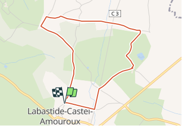

17,6 km | 22 km-effort

Tous les sentiers balisés d’Europe PRO


Kostenlosegpshiking-Anwendung
 SityTrail
IGN / Geografische Institute
SityTrail World
Die Welt öffnet sich für Sie
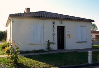
Tour Zu Fuß von 4,6 km verfügbar auf Neu-Aquitanien, Lot-et-Garonne, Labastide-Castel-Amouroux. Diese Tour wird von SityTrail - itinéraires balisés pédestres vorgeschlagen.
Trail created by CDT47.


Zu Fuß
Zu Fuß
Zu Fuß
Fahrrad

Mountainbike
Wandern

Mountainbike
Wandern
Wandern