


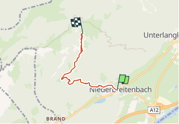

8 km | 10,6 km-effort

Tous les sentiers balisés d’Europe PRO


Kostenlosegpshiking-Anwendung
 SityTrail
IGN / Geografische Institute
SityTrail World
Die Welt öffnet sich für Sie
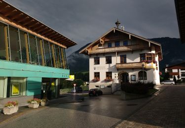
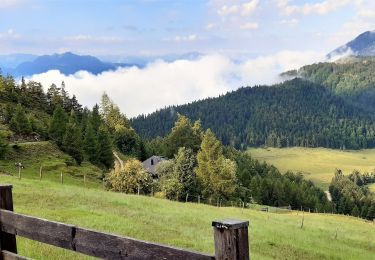
Tour Zu Fuß von 3,9 km verfügbar auf Tirol, Bezirk Kufstein, Gemeinde Langkampfen. Diese Tour wird von SityTrail - itinéraires balisés pédestres vorgeschlagen.
Trail created by TVB Langkampfen.
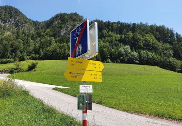
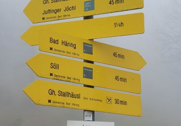
Symbol: Rote Punkte mit weißem Rahmen


Zu Fuß
Zu Fuß
Zu Fuß
Zu Fuß
Zu Fuß

Zu Fuß
Zu Fuß
Zu Fuß
Wandern